Login

Forgot your login?

Cookies have to be accepted!
Your browser's cookie functionality is disabled. Please enable this functionality.

Not a member yet?

Register now
Login

Available for registred users only

Log in to use this feature.

Forgot your login?

Cookies have to be accepted!
Your browser's cookie functionality is disabled. Please enable this functionality.

Not a member yet?

Register now
Filter
Categories
Advanced filters
  • Distance (km)
  • Height
Save filters Reset filter

TrackRank

QRCode

Technical data

Distance10,2 km Height415 m Way down424 m Duration03:00 h:m Date05.03.2014
Scores Author Landscape Fun factor Fitness Technique

Statistics

904 Views Scores 77 Downloads Average
Rate
  • Track data sheet
  • Directions
  • Downloads

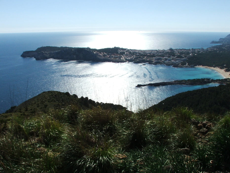
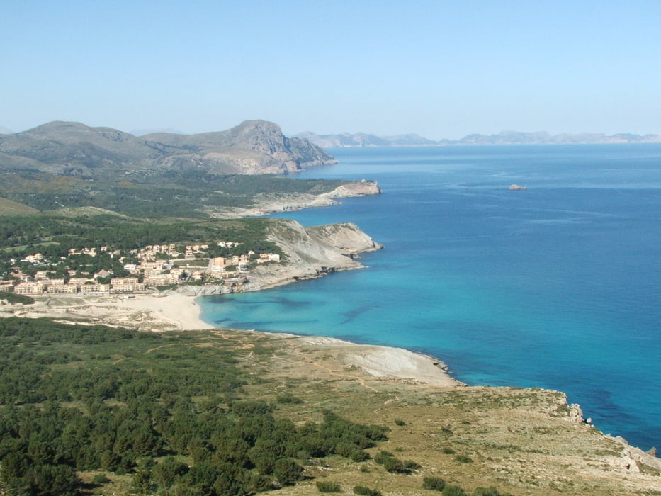
Wegverlauf: Cala Rajada (Cala Agulla) - Talaia de Son Jaumell - Cala Mesquida - Cala Agulla

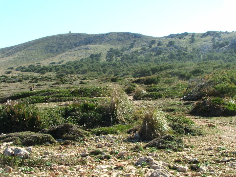
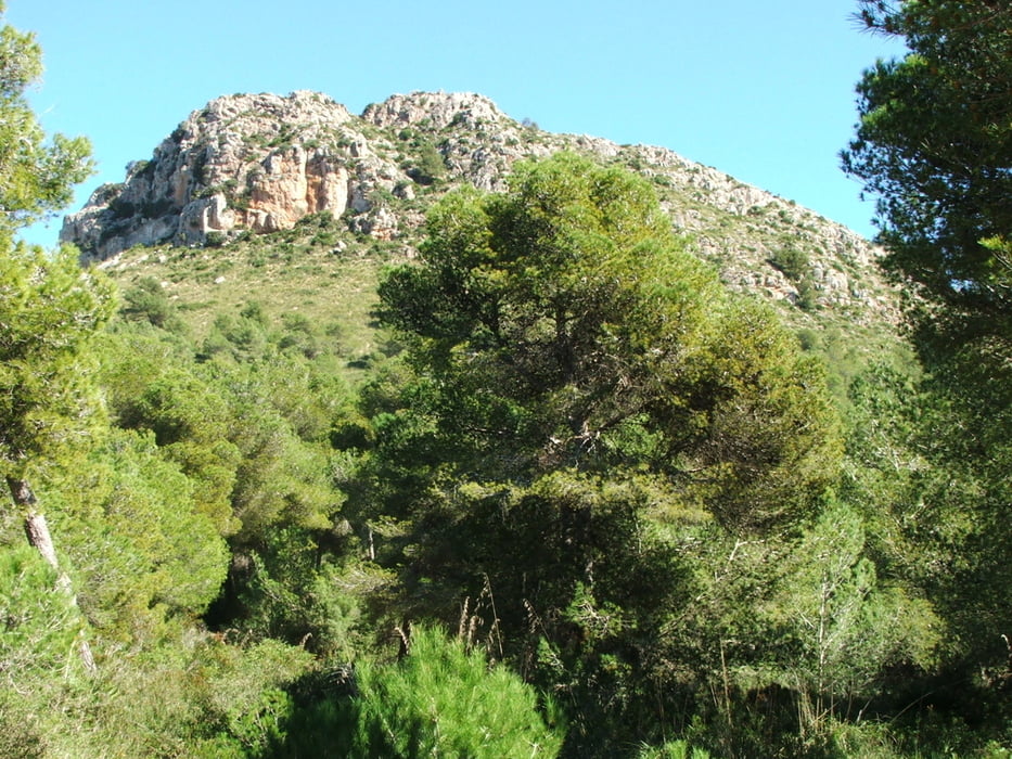
Am Strand entlang, dann Aufstieg zum Gipfel durch Wald. Rundumsicht über den Norden und Osten Mallorcas und sogar bis Menorca. Kurzer steiler Abstieg, dann leicht absteigend bis Cala Mesquida. Zum Ausgangspunkt fast eben durch Wald. 


Tour gallery

Tour map and elevation profile

  • Open Street Map
  • Google
Minimum height -7 m Maximum height 277 m Detailed view

More about the tour author

lothardomnik
Member since 2009

Send private message

Comments

In Cala Rajada so weit wie möglich Richtung Norden fahren (Hotel s' Entrador Playa).


GPS tracks

Trackpoints
  • GPX / Garmin Map Source (gpx) download
  • TCX / Garmin Training Center® (tcx) download
  • CRS / Garmin Training Center® (crs) download
  • Google Earth (kml) download
  • G7ToWin (g7t) download
  • TTQV (trk) download
  • Overlay (ovl) download
  • Fugawi (txt) download
  • Kompass (DAV) Track (tk) download
  • Track data sheet (pdf) download
  • Original file of the author (gpx) download

More about the tour author

lothardomnik
Member since 2009

Send private message
Share track
Add to my favorites
Remove from my favorites
Edit tags
My score
Rate
Track: Mallorca: Talaia de Son Jaumell
Type: Mountain hiking
Distance: 10,2 km
Evaluated on:
Duration:
Day(s)
Hour(s)
Minute(s)
Score: Landscape Fun factor Fitness Technique