


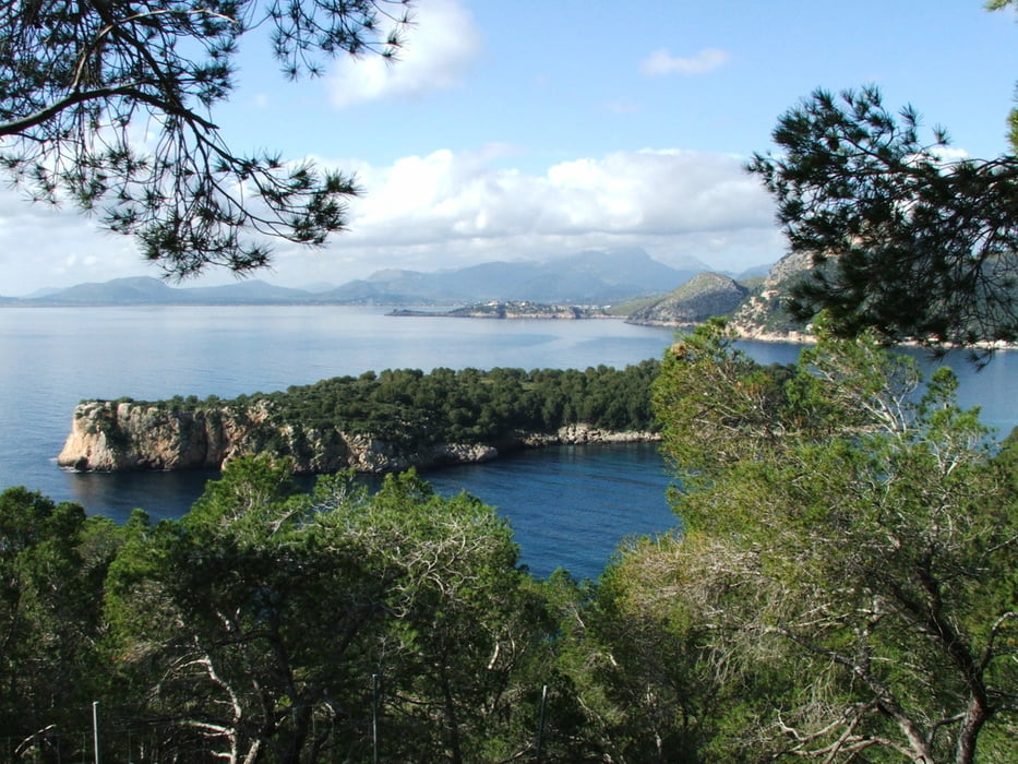
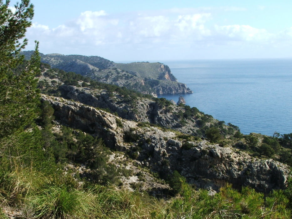
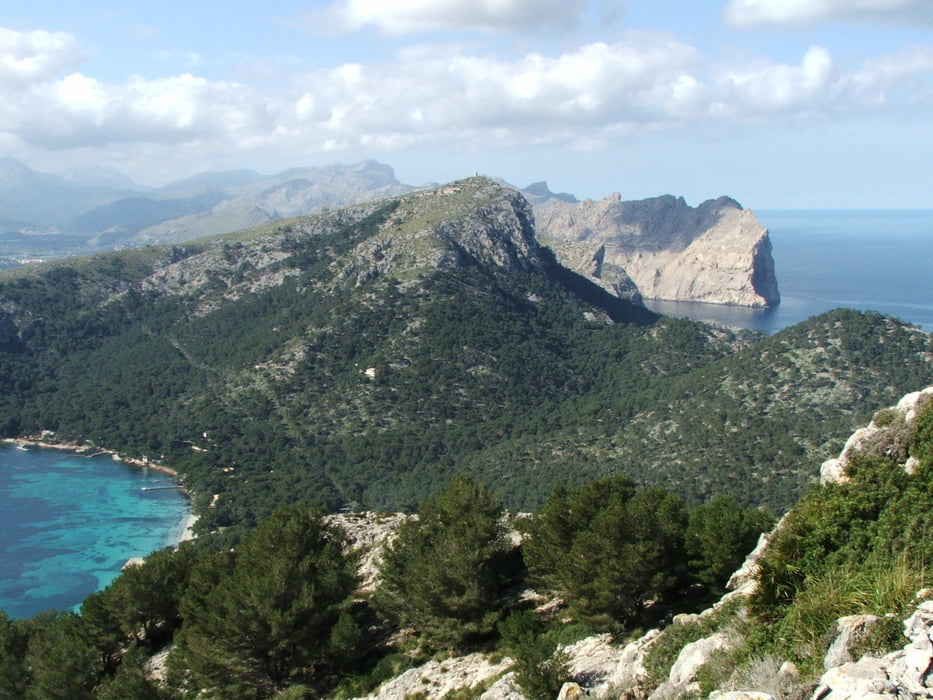
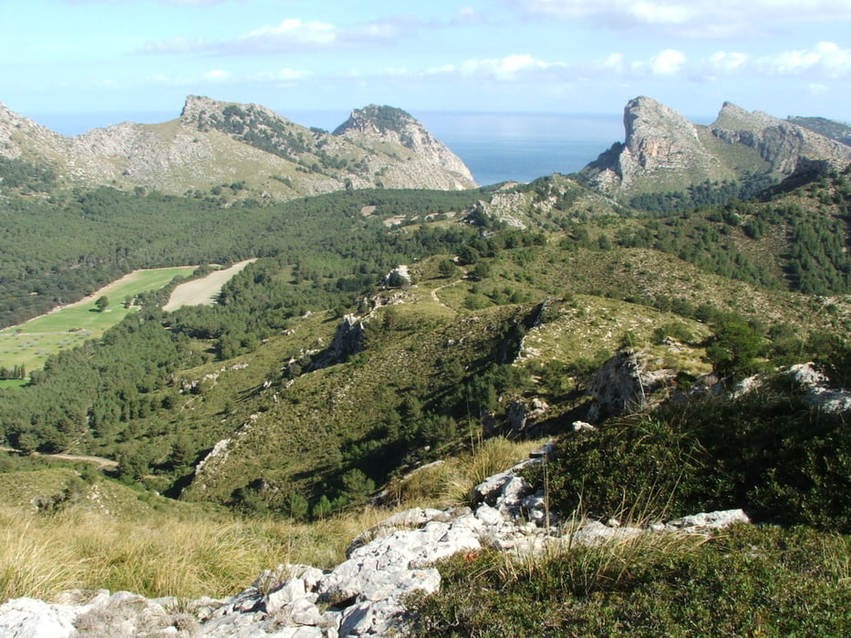
Wegverlauf: Patja de Formentor - Na Blanca - Coll de l' Olivardar - Platja de Formentor
Am Strand entlang, dann steiler und wegloser Aufstieg. Von Na Blanca Rundumsicht. Kurzer Abstieg, dann auf einem Fahrweg durch Wald zum Ausgangspunkt.
Tour gallery
Tour map and elevation profile
Minimum height -7 m
Maximum height 347 m
More about the tour author
|
|
lothardomnik |
Comments

Auf der einzigen Straße nach Formentor, der Ma-2200 von Port de Pollença, bis zum Ausgangspunkt der Wanderung.
Es lohnt sich, vorher am Mirador es Colomer anzuhalten und auch bis zum Cap Formentor weiterzufahren.
GPS tracks
Trackpoints-
GPX / Garmin Map Source (gpx) download
-
TCX / Garmin Training Center® (tcx) download
-
CRS / Garmin Training Center® (crs) download
-
Google Earth (kml) download
-
G7ToWin (g7t) download
-
TTQV (trk) download
-
Overlay (ovl) download
-
Fugawi (txt) download
-
Kompass (DAV) Track (tk) download
-
Track data sheet (pdf) download
-
Original file of the author (gpx) download
More about the tour author
|
|
lothardomnik |
Add to my favorites
Remove from my favorites
Edit tags
Open track
My score
Rate