


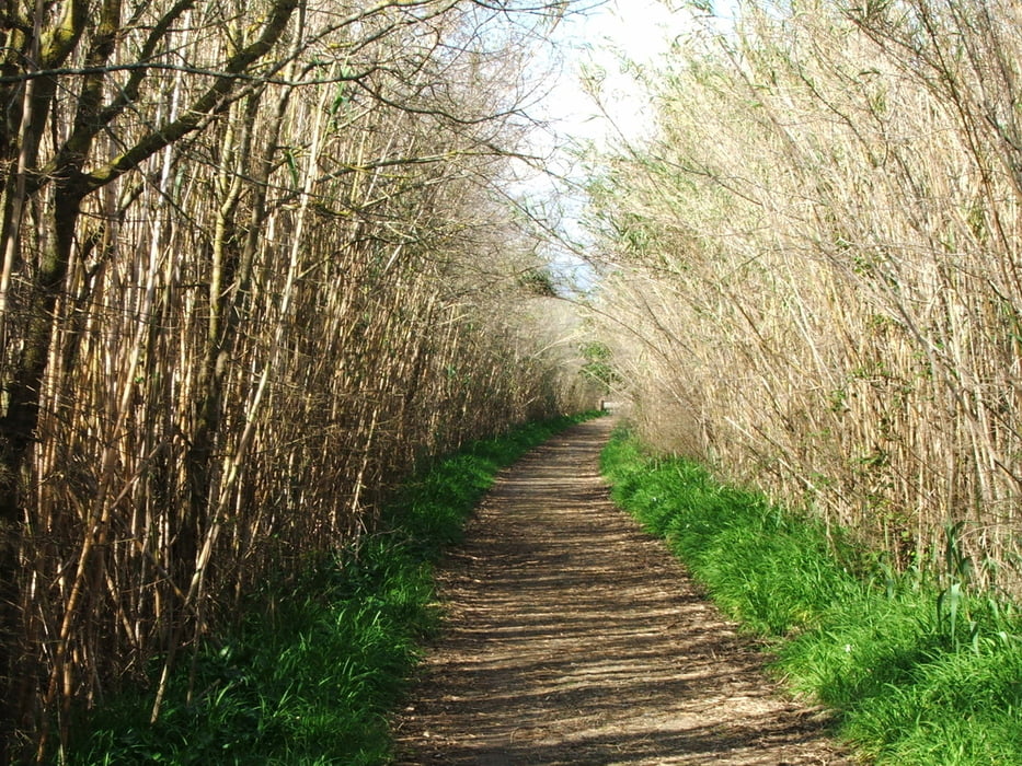
Durch das Naturschutzgebiet.
Wer nicht die ganze Strecke wandern möchte, kann auf den großen Bogen nach Süden auch verzichten. Nach etwa sechs Kilometern hat man das Schönste schon gesehen.
Da, wo der Track im Nordwesten den Knick macht, und auch im Süden sind weitere Ein-/ Ausgänge. Diese könnte man nutzen, wenn man nicht zum Ausgangspunkt zurück muss. Vorschlag: mit dem Fahrrad bis km 8,0 oder 11,3 und dann nach sa Pobla fahren.
Tour gallery


Tour map and elevation profile
Minimum height -10 m
Maximum height 8 m
More about the tour author
|
|
lothardomnik |
Comments

Der Eingang liegt an der Ma-12 zwischen Port d`Alcúdia und Can Picafort.
GPS tracks
Trackpoints-
GPX / Garmin Map Source (gpx) download
-
TCX / Garmin Training Center® (tcx) download
-
CRS / Garmin Training Center® (crs) download
-
Google Earth (kml) download
-
G7ToWin (g7t) download
-
TTQV (trk) download
-
Overlay (ovl) download
-
Fugawi (txt) download
-
Kompass (DAV) Track (tk) download
-
Track data sheet (pdf) download
-
Original file of the author (gpx) download
More about the tour author
|
|
lothardomnik |
Add to my favorites
Remove from my favorites
Edit tags
Open track
My score
Rate