Login

Forgot your login?

Cookies have to be accepted!
Your browser's cookie functionality is disabled. Please enable this functionality.

Not a member yet?

Register now
Login

Available for registred users only

Log in to use this feature.

Forgot your login?

Cookies have to be accepted!
Your browser's cookie functionality is disabled. Please enable this functionality.

Not a member yet?

Register now
Filter
Categories
Advanced filters
  • Distance (km)
  • Height
Save filters Reset filter

TrackRank

QRCode

Technical data

Distance42,1 km Height576 m Way down576 m Duration3 days 0 h Date07.03.2014
Scores Author Landscape Fun factor Fitness Technique

Statistics

675 Views Scores 41 Downloads Average
Rate
  • Track data sheet
  • Directions
  • Downloads

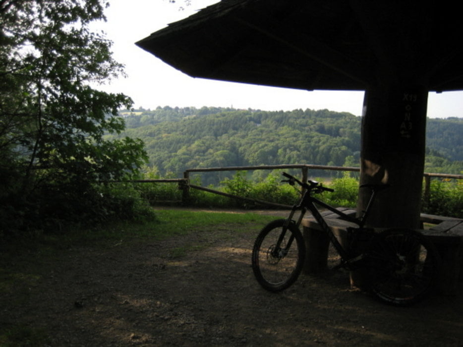
Die Tour startet in Langenfeld Berghausen, geht dann Richtung Solingen. Von dort hoch zum Pilz. Runter zur Wupper und dann auf der anderen Seite wieder hoch. Von dort wieder zurück nach Langenfeld. Bei Regen kann es eine Schlammschlacht werden.

Viel Spaß

Ju52

Tour map and elevation profile

  • Open Street Map
  • Google
Minimum height 43 m Maximum height 216 m Detailed view

More about the tour author

ju52
Member since 2009

Send private message

Comments

GPS tracks

Trackpoints
  • GPX / Garmin Map Source (gpx) download
  • TCX / Garmin Training Center® (tcx) download
  • CRS / Garmin Training Center® (crs) download
  • Google Earth (kml) download
  • G7ToWin (g7t) download
  • TTQV (trk) download
  • Overlay (ovl) download
  • Fugawi (txt) download
  • Kompass (DAV) Track (tk) download
  • Track data sheet (pdf) download
  • Original file of the author (tcx) download

More about the tour author

ju52
Member since 2009

Send private message
Share track
Add to my favorites
Remove from my favorites
Edit tags
My score
Rate
Track: Langenfeld- Rund um die Wupper bei Solingen
Type: Mountain bike
Distance: 42,1 km
Evaluated on:
Duration:
Day(s)
Hour(s)
Minute(s)
Score: Landscape Fun factor Fitness Technique