
![Katherinen Kapelle [im Kaiserstuhl]](/redx/tools/mb_image.php/ct.VZO2zQ/gid.8/file.zY2JjKqB5Y_GjbZlpWN7Vw9jOO2wJP1IrYTFx3VL2CiQ1OY3dXNXMk00lCNv8CYX5rcTLY2Jj/kaiser11.jpg "Katherinen Kapelle")

Eichstätten am Kaiserstuhl - Eichstätter Weinberge - Bahlingen - Erleteich Endingen - Amolterer Heide - Seilnacht Kreuz - Katherinen Kapelle - Bahlinger Eck - Schelinger Alm - Eichelspitze - Fuchsbuck - Wächtelberg - Lerchenberg - Eichstätten
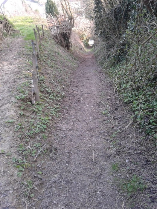
Relativ kurze Tour aber doch einige Höhenmeter. Dafür super Downhill von der Eichelspitze und tolles Panorama von der Schelinger Alm. Ein weiterer Toller Trail ist von der Katherinen Kapelle.
Schöne Aussicht auch von der Amolterer Heide über den Kaiserstuhl.
In Anlehnung an www.gps-tour.info/de/touren/detail.2153.html
Further information at
http://vorort.bund.net/suedlicher-oberrhein/kaiserstuhl-wandern-natur.htmlTour gallery
Tour map and elevation profile
Minimum height 165 m
Maximum height 495 m
More about the tour author
|
|
messer1 |
Comments

Startpunkt dieser Tour ist ein kleiner Camp Ground in der Nähe von Eichstätten am Kaiserstuhl. Der Ausgangspunkt eignet sich als Start für viele Touren am Kaiserstuhl.
Eichstetten ist auch mit öffentlichen Verkehrsmitteln gut zu erreichen.
Alternativ kann man auch von Bahlingen starten. Dies liegt in der Nähe der Autobahnausfahrt Nimburg an der A5.
GPS tracks
Trackpoints-
GPX / Garmin Map Source (gpx) download
-
TCX / Garmin Training Center® (tcx) download
-
CRS / Garmin Training Center® (crs) download
-
Google Earth (kml) download
-
G7ToWin (g7t) download
-
TTQV (trk) download
-
Overlay (ovl) download
-
Fugawi (txt) download
-
Kompass (DAV) Track (tk) download
-
Track data sheet (pdf) download
-
Original file of the author (gpx) download
More about the tour author
|
|
messer1 |
Add to my favorites
Remove from my favorites
Edit tags
Open track
My score
Rate