Login

Forgotten password?

Cookies have to be accepted!
Your browser's cookie functionality is disabled. Please enable this functionality.

Not a member yet?

Register now
Login

Available for registred users only

Log in to use this feature.

Forgotten password?

Cookies have to be accepted!
Your browser's cookie functionality is disabled. Please enable this functionality.

Not a member yet?

Register now
Filter
Categories
Advanced filters
  • Distance (km)
  • Height
Save filters Reset filter

TrackRank

QRCode

Technical data

Distance14,5 km Height509 m Way down512 m Duration00:00 h:m Date09.03.2014
Scores Author User Landscape Fun factor Fitness Technique

Statistics

416 Views 1 Score 41 Downloads 4.00 Average
Rate
  • Track data sheet
  • Directions
  • Downloads

Grundlage dieser (abgekürzten) Tour über die Höhen und durch die Täler des Hurtgenwald ist die

Tour Nr. 29: "Idyllische Bäche und Höhen nördlich der Rurtalsperre"

aus der Qualitätstourensammlung des Teams "Natur Aktiv erleben" (http://www.naturaktiverleben.de/?IndexTour=29)

Herzlichen Dank für die Qualität bei Auswahl und Präsentation!


Further information at

http://www.naturaktiverleben.de/

Tour gallery

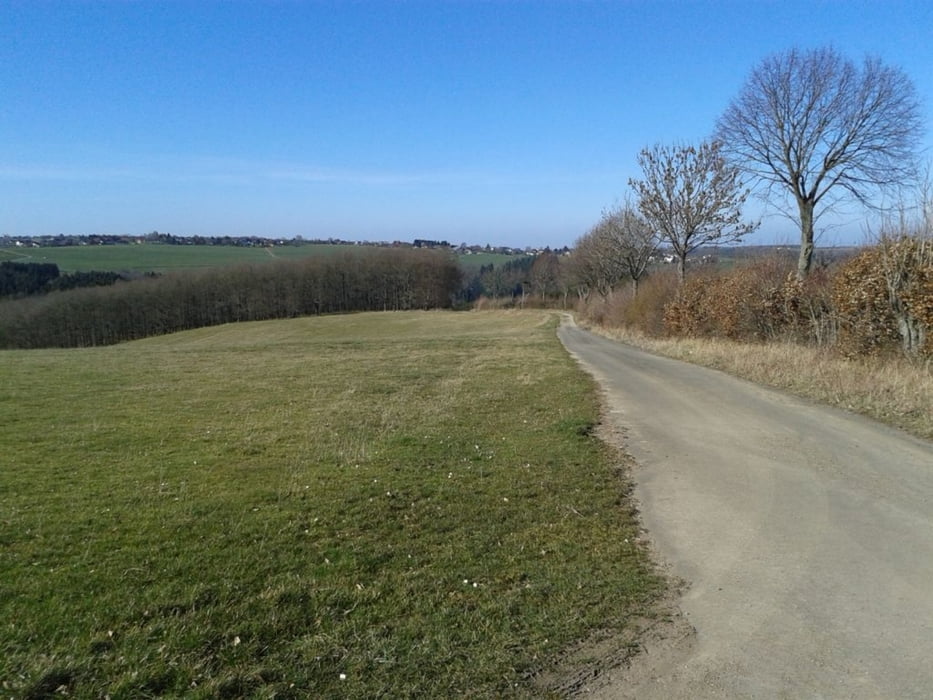
Tour map and elevation profile

  • Open Street Map
  • Google
Minimum height 213 m Maximum height 416 m Detailed view

More about the tour author

bussard
Member since 2009

Send private message

Comments

GPS tracks

Trackpoints
  • GPX / Garmin Map Source (gpx) download
  • TCX / Garmin Training Center® (tcx) download
  • CRS / Garmin Training Center® (crs) download
  • Google Earth (kml) download
  • G7ToWin (g7t) download
  • TTQV (trk) download
  • Overlay (ovl) download
  • Fugawi (txt) download
  • Kompass (DAV) Track (tk) download
  • Track data sheet (pdf) download
  • Original file of the author (gpx) download

More about the tour author

bussard
Member since 2009

Send private message
Share track
Add to my favorites
Remove from my favorites
Edit tags
My score
Rate
Track: Rund um Vossenack -Täler und Höhen
Type: Hiking
Distance: 14,5 km
Evaluated on:
Duration:
Day(s)
Hour(s)
Minute(s)
Score: Landscape Fun factor Fitness Technique