


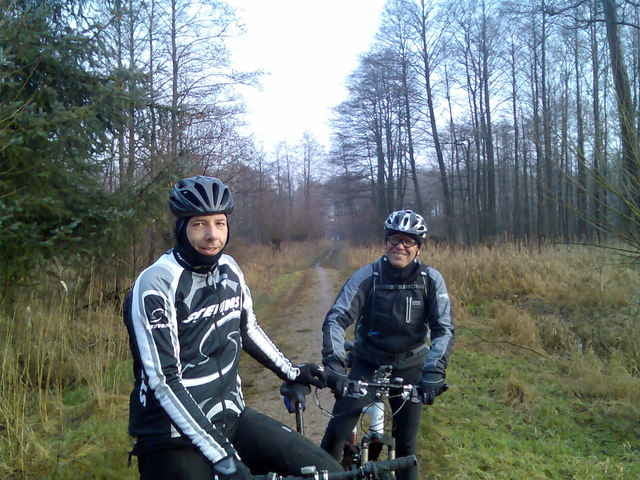
los ging es über die kupferteiche zur mellenburger rampe, dann auf die alstertrails und ins alstertal zum rodenbeker quellen trail, weiter richtung wohldorfer wald und dadurch, dann durch den duvenstedter brook zu wilhelm. hier gabs ein neujahrs bierchen. und dann ging es über kayhude zum rader trail und diesen dann entlang bis duvenstedt und dann durchs wittmoor zurück!
Further information at
http://www.hegibiketours.deTour gallery
Tour map and elevation profile
Minimum height 8 m
Maximum height 71 m
More about the tour author
|
|
hegi |
Comments

Start in Lemsahl! In den 30ziger Zonen der Wohngegenden!
GPS tracks
Trackpoints-
GPX / Garmin Map Source (gpx) download
-
TCX / Garmin Training Center® (tcx) download
-
CRS / Garmin Training Center® (crs) download
-
Google Earth (kml) download
-
G7ToWin (g7t) download
-
TTQV (trk) download
-
Overlay (ovl) download
-
Fugawi (txt) download
-
Kompass (DAV) Track (tk) download
-
Track data sheet (pdf) download
-
Original file of the author (gpx) download
More about the tour author
|
|
hegi |
Add to my favorites
Remove from my favorites
Edit tags
Open track
My score
Rate