Login

Forgot your login?

Cookies have to be accepted!
Your browser's cookie functionality is disabled. Please enable this functionality.

Not a member yet?

Register now
Login

Available for registred users only

Log in to use this feature.

Forgot your login?

Cookies have to be accepted!
Your browser's cookie functionality is disabled. Please enable this functionality.

Not a member yet?

Register now
Filter
Categories
Advanced filters
  • Distance (km)
  • Height
Save filters Reset filter

TrackRank

QRCode

Technical data

Distance62,9 km Height1374 m Way down1361 m Duration03:18 h:m Date12.03.2014
Scores Author Landscape Fun factor Fitness Technique

Statistics

215 Views Scores 14 Downloads Average
Rate
  • Track data sheet
  • Directions
  • Downloads

12.3.2014

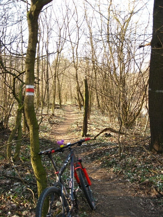
Singlovanie s Tomášom (najprv som si dal hodinu po Kobyle sám). Nohy úplne unavené, zajtra nebude čas na bike, našťastie... Ale aj tak som si výjazd užil. Trail Biely kríž parádny, Cerovka detto. Dnes som prvý raz v tomto roku prišiel domov zaprášený.
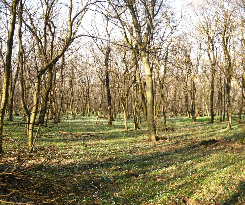
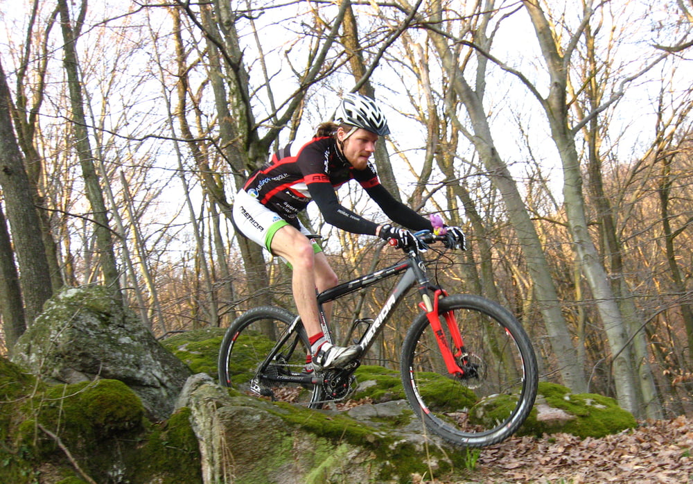
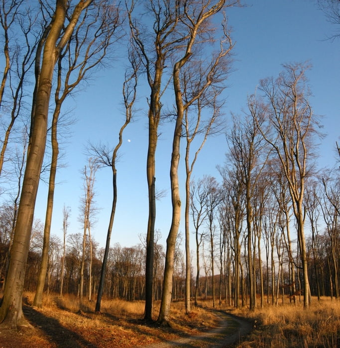
Tour gallery

Tour map and elevation profile

  • Open Street Map
  • Google
Minimum height 184 m Maximum height 523 m Detailed view

More about the tour author

tmax
Member since 2007

Send private message

Comments

BA-Dlhé Diely

GPS tracks

Trackpoints
  • GPX / Garmin Map Source (gpx) download
  • TCX / Garmin Training Center® (tcx) download
  • CRS / Garmin Training Center® (crs) download
  • Google Earth (kml) download
  • G7ToWin (g7t) download
  • TTQV (trk) download
  • Overlay (ovl) download
  • Fugawi (txt) download
  • Kompass (DAV) Track (tk) download
  • Track data sheet (pdf) download
  • Original file of the author (gpx) download

More about the tour author

tmax
Member since 2007

Send private message
Share track
Add to my favorites
Remove from my favorites
Edit tags
My score
Rate
Track: 20140312_Devínska Kobyla, trail Biely kríž, Cerová dráha
Type: Mountain bike
Distance: 62,9 km
Evaluated on:
Duration:
Day(s)
Hour(s)
Minute(s)
Score: Landscape Fun factor Fitness Technique