


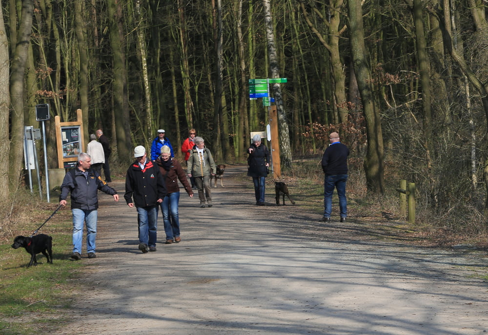
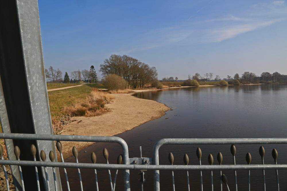
Die Thülsfelder Talsperre liegt geografisch westlich von Garrel in der Mitte zwischen den Orten Cloppenburg und Friesoythe. Sie ist auch ursprünglich keine Talsperre im eigentlichen Sinne sonder ein Rückhaltebecken für die Soeste gewesen. Heute ist die Talsperre ein beliebtes Naherholungs- und Naturschutzgebiet.
Der Rundweg für Wanderer und Radfahrer ist etwa 10 Km lang und sehr gut nutzbar. Es lohnt sich, hier im Vorbeikommen einmal zu halten.
Tour gallery


Tour map and elevation profile
Minimum height 20 m
Maximum height 41 m
More about the tour author
|
|
e-rohr |
Comments

GPS tracks
Trackpoints-
GPX / Garmin Map Source (gpx) download
-
TCX / Garmin Training Center® (tcx) download
-
CRS / Garmin Training Center® (crs) download
-
Google Earth (kml) download
-
G7ToWin (g7t) download
-
TTQV (trk) download
-
Overlay (ovl) download
-
Fugawi (txt) download
-
Kompass (DAV) Track (tk) download
-
Track data sheet (pdf) download
-
Original file of the author (gpx) download
More about the tour author
|
|
e-rohr |
Add to my favorites
Remove from my favorites
Edit tags
Open track
My score
Rate