

Aufstieg: 6Std. 20min.
Abfahrt: 2 Std.
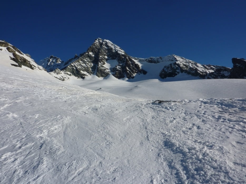
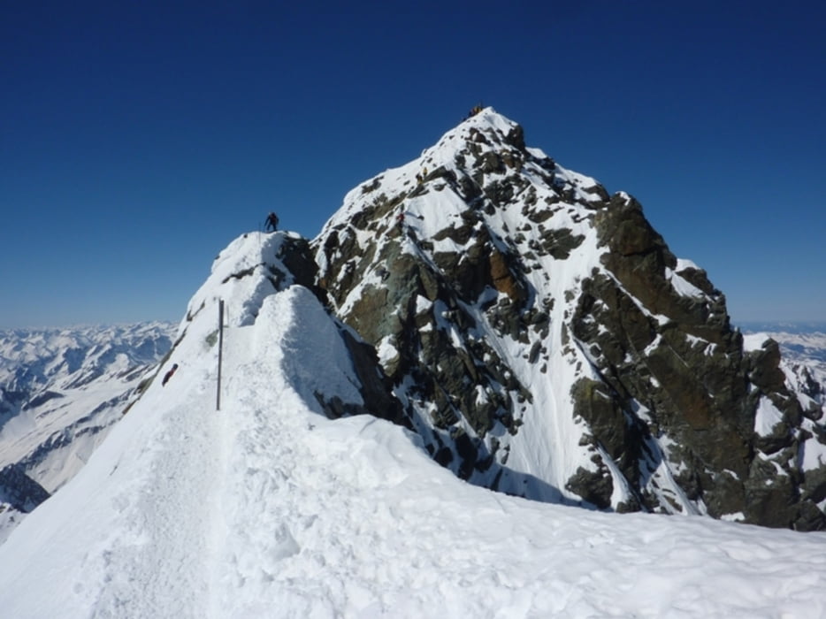
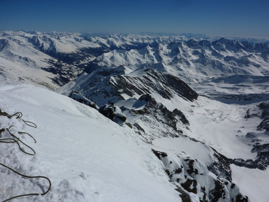
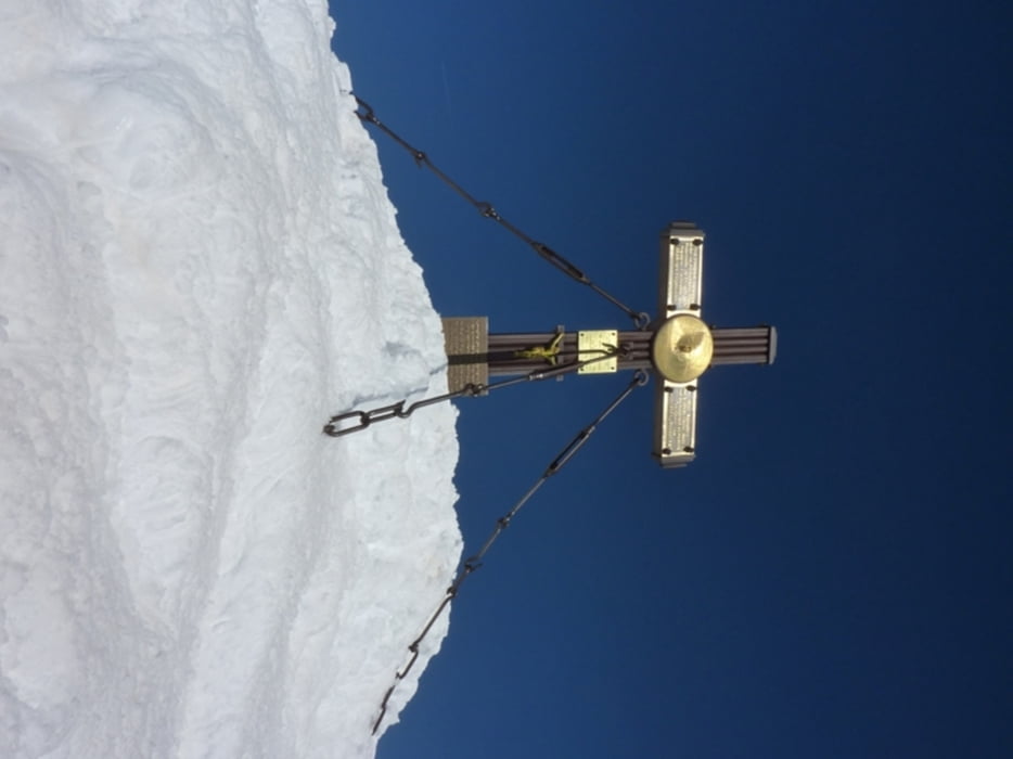
Vom Parkplatz Lucknerhaus über die Adlersruhe zum Gipfel.
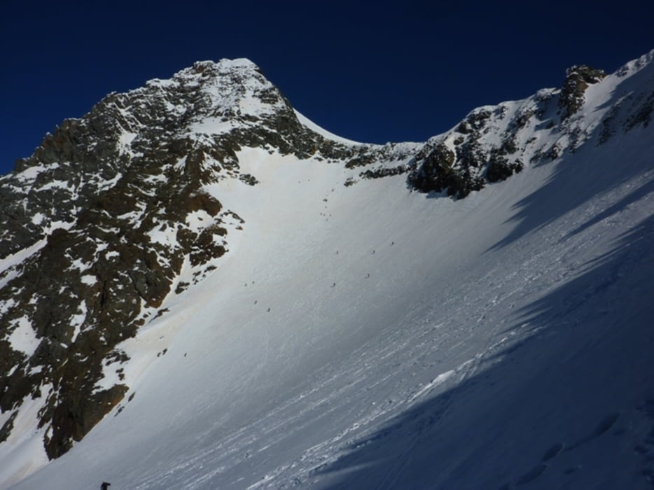
Abstieg wie Anstieg über den Grat bis zum Glocknerleitl. Ab hier mit die Ski vom Eisleitl über den steilen SO-Hang zum Ködnitzkees abfahren.
Vom Ködnitzkees in Richtung SO bis unter die Materialseilbahn zur Adlersruhe. Ab hier in den Talboden abfahren und retour zum Parkplatz.
Further information at
http://www.kals.at/websites/default.asp?MenuID=1543Tour gallery
Tour map and elevation profile
Minimum height 1884 m
Maximum height 3730 m
More about the tour author
|
|
harald07071 |
Comments

Von Lienz kommend über Huben, Kals am Großglockner – Kalser Glocknerstraße – Lucknerhaus.
GPS tracks
Trackpoints-
GPX / Garmin Map Source (gpx) download
-
TCX / Garmin Training Center® (tcx) download
-
CRS / Garmin Training Center® (crs) download
-
Google Earth (kml) download
-
G7ToWin (g7t) download
-
TTQV (trk) download
-
Overlay (ovl) download
-
Fugawi (txt) download
-
Kompass (DAV) Track (tk) download
-
Track data sheet (pdf) download
-
Original file of the author (gpx) download
More about the tour author
|
|
harald07071 |
Add to my favorites
Remove from my favorites
Edit tags
Open track
My score
Rate