Login

Forgot your login?

Cookies have to be accepted!
Your browser's cookie functionality is disabled. Please enable this functionality.

Not a member yet?

Register now
Login

Available for registred users only

Log in to use this feature.

Forgot your login?

Cookies have to be accepted!
Your browser's cookie functionality is disabled. Please enable this functionality.

Not a member yet?

Register now
Filter
Categories
Advanced filters
  • Distance (km)
  • Height
Save filters Reset filter

TrackRank

QRCode

Technical data

Distance39,2 km Height708 m Way down692 m Duration04:00 h:m Date15.03.2014
Scores Author Landscape Fun factor Fitness Technique

Statistics

496 Views Scores 142 Downloads Average
Rate
  • Track data sheet
  • Directions
  • Downloads

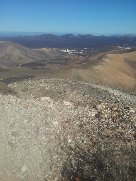
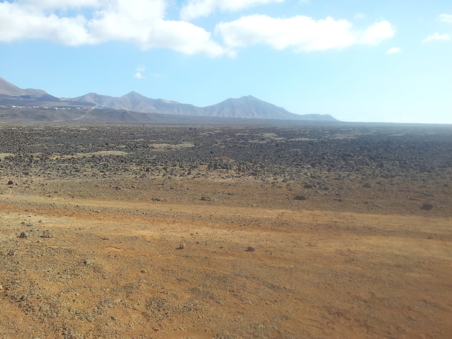
Leaving Playa Blanca to Femes , hill up to the highest point of Lanzarote (veeery nice view), on hiking track downhill to Yaiza, from there to the east coast and there on a very nice and rough hiking track back to Playa Blanca


Tour gallery

Tour map and elevation profile

  • Open Street Map
  • Google
Minimum height 25 m Maximum height 625 m Detailed view

More about the tour author

Hiemsch
Member since 2011

Send private message

Comments

start in Playa Blanca


GPS tracks

Trackpoints
  • GPX / Garmin Map Source (gpx) download
  • TCX / Garmin Training Center® (tcx) download
  • CRS / Garmin Training Center® (crs) download
  • Google Earth (kml) download
  • G7ToWin (g7t) download
  • TTQV (trk) download
  • Overlay (ovl) download
  • Fugawi (txt) download
  • Kompass (DAV) Track (tk) download
  • Track data sheet (pdf) download
  • Original file of the author (gpx) download

More about the tour author

Hiemsch
Member since 2011

Send private message
Share track
Add to my favorites
Remove from my favorites
Edit tags
My score
Rate
Track: 39km Playa Blanca - Yaiza - East coast and back - roundtrip
Type: Mountain bike
Distance: 39,2 km
Evaluated on:
Duration:
Day(s)
Hour(s)
Minute(s)
Score: Landscape Fun factor Fitness Technique