


Von der Gießlhütte kann man noch etwa 300 m zu einem weiteren Parkplatz fahren.
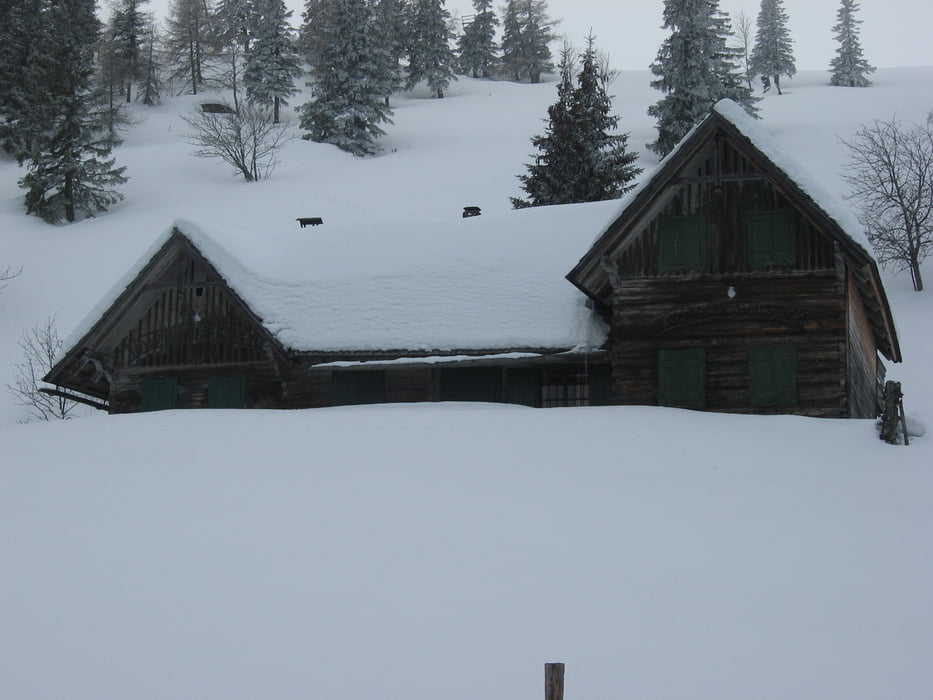
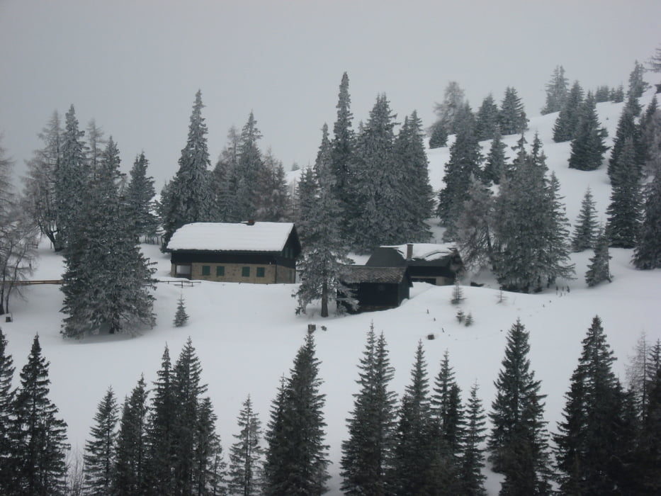
Hier dem Wanderweg Nr. 5 auf der Forststraße hinauf zu einem Jagdhaus folgen. Kurz danach erreicht man die Ladingerhütte (nicht bewirtschaftet). Rechts von der Hütte bergauf Richtung Sandkogel. Östlich des Sandkogels hinunter zur Ramihütte, welche rechts passiert wird. Über den Moarhalteberg Weg Nr. 334 führt der Weg zurück zum Parkplatz.
Further information at
http://www.wolfsberg.atTour gallery
Tour map and elevation profile
Minimum height 1307 m
Maximum height 1893 m
More about the tour author

|
JoHangler |
Comments

Graz Klagenfurt A2 Süd, Richtung St. Michael - Richtung Lading - Gießlhütte
GPS tracks
Trackpoints-
GPX / Garmin Map Source (gpx) download
-
TCX / Garmin Training Center® (tcx) download
-
CRS / Garmin Training Center® (crs) download
-
Google Earth (kml) download
-
G7ToWin (g7t) download
-
TTQV (trk) download
-
Overlay (ovl) download
-
Fugawi (txt) download
-
Kompass (DAV) Track (tk) download
-
Track data sheet (pdf) download
-
Original file of the author (gpx) download
More about the tour author
|
|
JoHangler |
Add to my favorites
Remove from my favorites
Edit tags
Open track
My score
Rate