


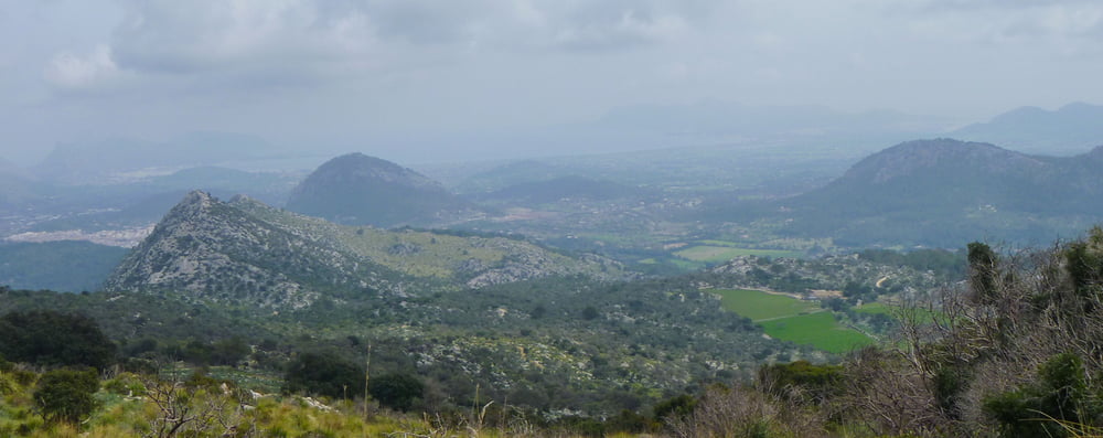
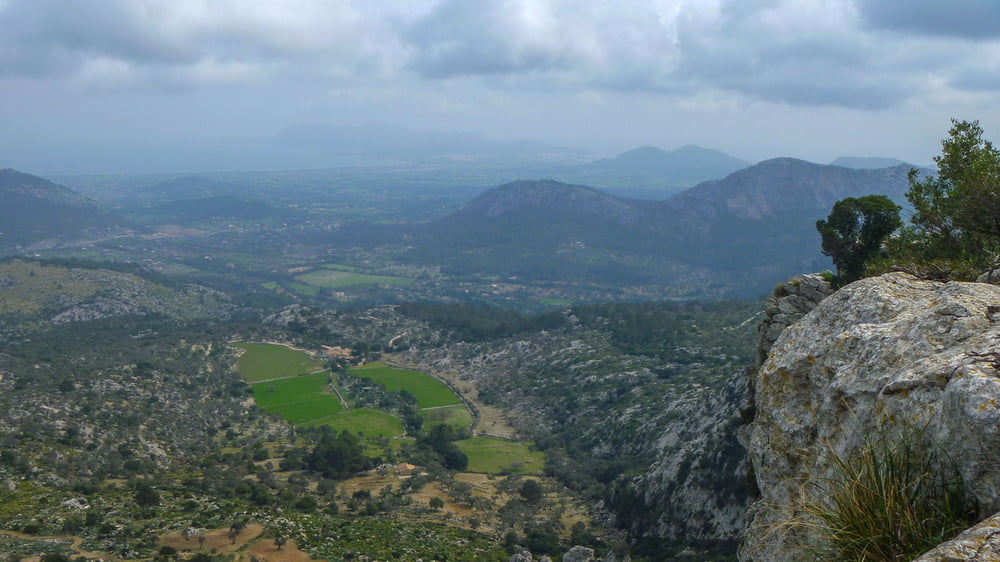
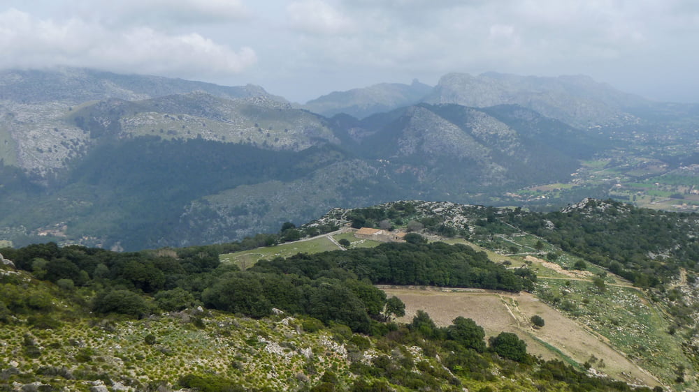
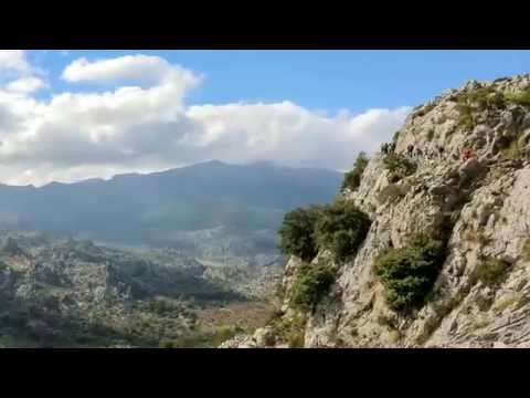
Die Wanderung führt auf die Cuculla de Farturitx in einer Höhe von 716m von Pollenca. Der Puig Tomir liegt hier in unmittelbarer Nähe. Kurze Felspassagen erfordern Trittsicherheit und Schwindelfreiheit. Auf uralten, von den Bauern des gleichnamigen Berghofes angelegten Wegen steigen wir ab durch die bezaubernde Berglandschaft oberhalb des sogenannten Valle d'en March.
Further information at
https://www.youtube.com/watch?v=f0CSHlK7rwgTour gallery
Tour map and elevation profile
Minimum height 54 m
Maximum height 716 m
More about the tour author
|
|
Pointer |
Comments

Es geht mit dem Shuttleus zum Startpunkt der Tour, dieser wird auch am Ziel benötigt !
GPS tracks
Trackpoints-
GPX / Garmin Map Source (gpx) download
-
TCX / Garmin Training Center® (tcx) download
-
CRS / Garmin Training Center® (crs) download
-
Google Earth (kml) download
-
G7ToWin (g7t) download
-
TTQV (trk) download
-
Overlay (ovl) download
-
Fugawi (txt) download
-
Kompass (DAV) Track (tk) download
-
Track data sheet (pdf) download
-
Original file of the author (gpx) download
More about the tour author
|
|
Pointer |
Add to my favorites
Remove from my favorites
Edit tags
Open track
My score
Rate