


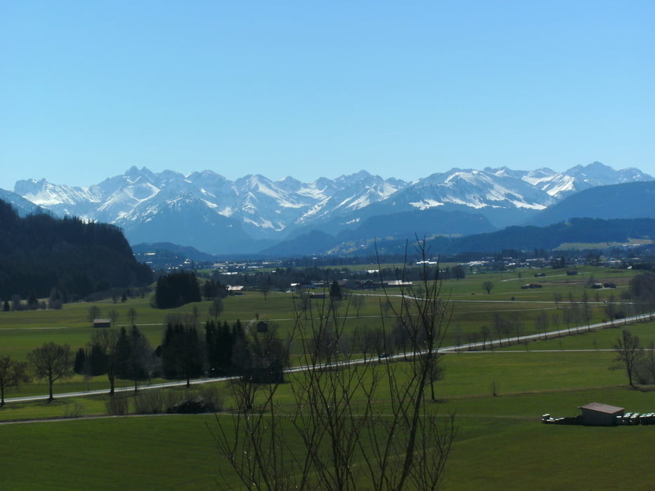
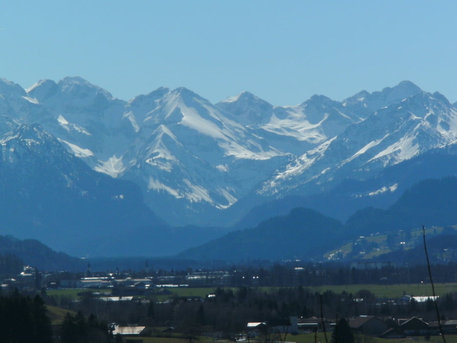
leichte Tour zum Einrollen um den Rottachberg. Start am Besten vom Parkplatz beim Werdensteiner Moos (Gasthof Haxenwirt) an der alten B 19. Nach Oberdorf, den "Adlerpass" hinunter nach Martinszell. Von Rottach die alte Salzstraße entlang Richtung Rottachsee. Dann kommt nochmal eine kleine Steigung mit gut 200 Hm und zurück eigentlich nur noch Bergab mit einer kleinen Trialeinlage zum Parkplatz.
Tour gallery
Tour map and elevation profile
Minimum height 704 m
Maximum height 1084 m
More about the tour author
|
|
yr1willi |
Comments

von Kempten neue B 19 Abfahrt bei Oberdorf Martinszell auf alte B 19 Zum Parkplatz. Von Immenstadt alte B 19 nach Thanners.
GPS tracks
Trackpoints-
GPX / Garmin Map Source (gpx) download
-
TCX / Garmin Training Center® (tcx) download
-
CRS / Garmin Training Center® (crs) download
-
Google Earth (kml) download
-
G7ToWin (g7t) download
-
TTQV (trk) download
-
Overlay (ovl) download
-
Fugawi (txt) download
-
Kompass (DAV) Track (tk) download
-
Track data sheet (pdf) download
-
Original file of the author (gpx) download
More about the tour author
|
|
yr1willi |
Add to my favorites
Remove from my favorites
Edit tags
Open track
My score
Rate