


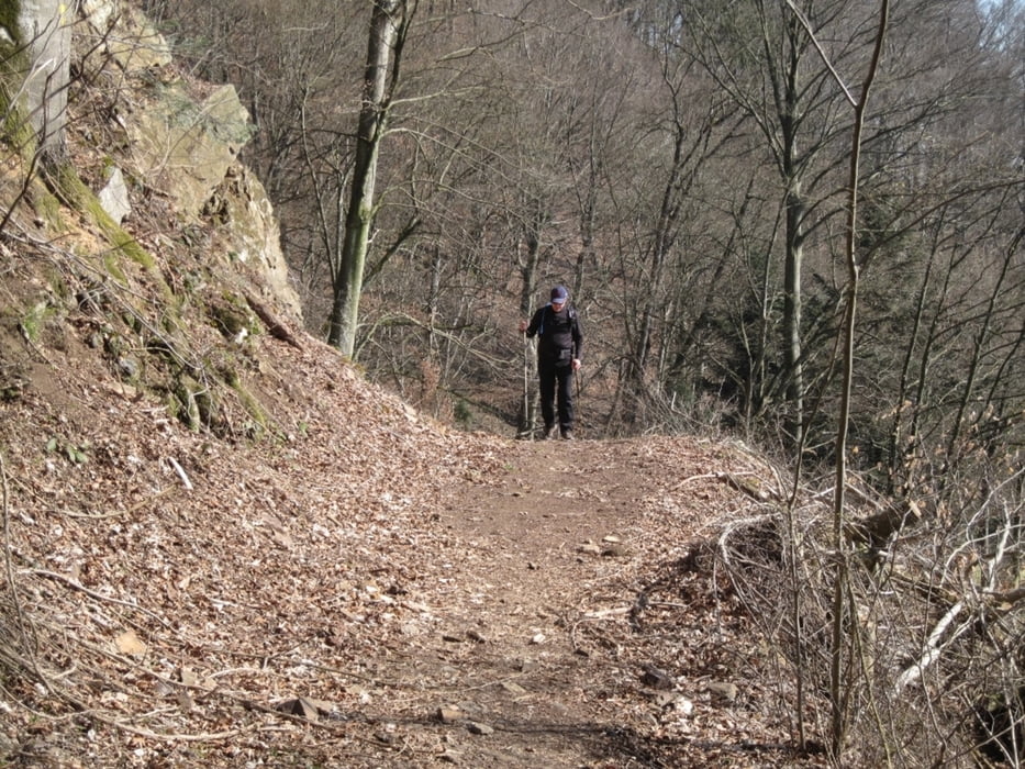
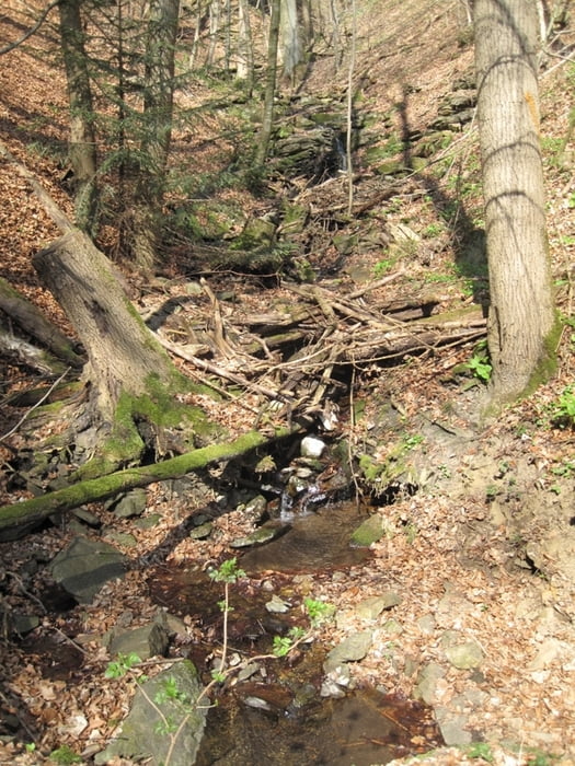
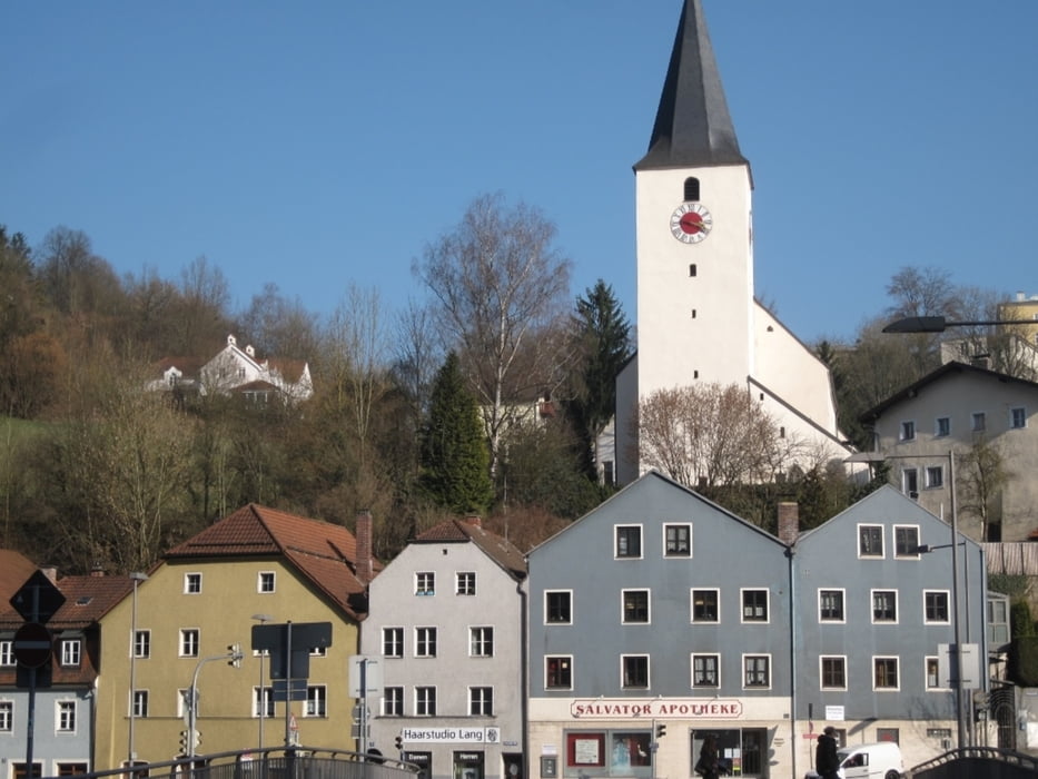
Streckenwanderung von Obernzell nach Erlau und dann zurück mit dem Bus. Anstieg und Abstieg sind steil und dazwischen geht es zur Donau hin gewaltig bergab. Dafür tolle Ausblicke auf die Donau. Die Grenze verläuft in Flussmitte, man schaut also nach Österreich hinein. Der Weg ist besonders im Frühling schön, aber auch glatt durch die vielen trockenen Buchenblätter, die sich auf dem Weg stapeln. Stöcke und feste Stiefel sind schon notwendig. Busfahrt etwa stündlich, Linie 6101 um 11:09, 12:09 usw.
Tour gallery

Tour map and elevation profile
Minimum height 302 m
Maximum height 508 m
More about the tour author
|
|
sugesei |
Comments

Auto oder Bus aus Passau nach Wahl Obernzell Erlau oder Erlau Obernzell.
GPS tracks
Trackpoints-
GPX / Garmin Map Source (gpx) download
-
TCX / Garmin Training Center® (tcx) download
-
CRS / Garmin Training Center® (crs) download
-
Google Earth (kml) download
-
G7ToWin (g7t) download
-
TTQV (trk) download
-
Overlay (ovl) download
-
Fugawi (txt) download
-
Kompass (DAV) Track (tk) download
-
Track data sheet (pdf) download
-
Original file of the author (gpx) download
More about the tour author
|
|
sugesei |
Add to my favorites
Remove from my favorites
Edit tags
Open track
My score
Rate