Login

Forgot your login?

Cookies have to be accepted!
Your browser's cookie functionality is disabled. Please enable this functionality.

Not a member yet?

Register now
Login

Available for registred users only

Log in to use this feature.

Forgot your login?

Cookies have to be accepted!
Your browser's cookie functionality is disabled. Please enable this functionality.

Not a member yet?

Register now
Filter
Categories
Advanced filters
  • Distance (km)
  • Height
Save filters Reset filter

TrackRank

QRCode

Technical data

Distance9,4 km Height900 m Way down834 m Duration02:38 h:m Date20.03.2014
Scores Author Landscape Fun factor Fitness Technique

Statistics

320 Views Scores 11 Downloads Average
Rate
  • Track data sheet
  • Directions
  • Downloads

Aufstieg: 2Std. 15min
Abfahrt: 23min.


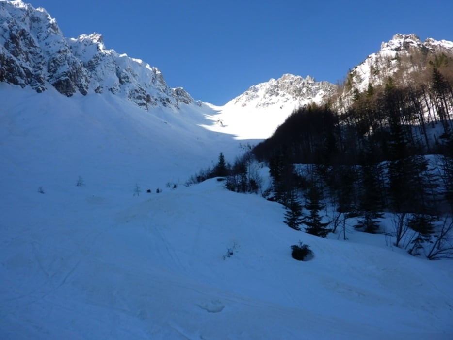
 Von Bodenbauer über die Märchenwiese in das Vertatschakar.

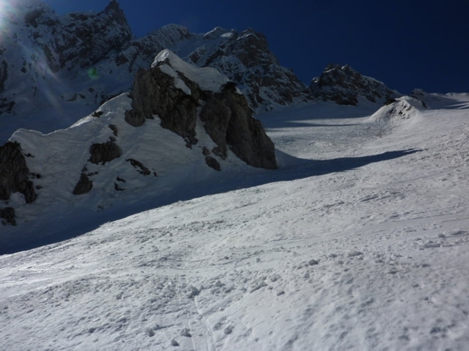
Am Ende des Kars rechts kurzer Ansteig zum Gipfl.

Abfahrt wie Aufstieg.

Tour gallery

Tour map and elevation profile

  • Open Street Map
  • Google
Minimum height 1013 m Maximum height 1918 m Detailed view

More about the tour author

harald07071
Member since 2008

Send private message

Comments

Von Klagenfurt Richtung Loibelpass Bundesstr. weiter rechts ins Bodental bis zum Bodenbauer


GPS tracks

Trackpoints
  • GPX / Garmin Map Source (gpx) download
  • TCX / Garmin Training Center® (tcx) download
  • CRS / Garmin Training Center® (crs) download
  • Google Earth (kml) download
  • G7ToWin (g7t) download
  • TTQV (trk) download
  • Overlay (ovl) download
  • Fugawi (txt) download
  • Kompass (DAV) Track (tk) download
  • Track data sheet (pdf) download
  • Original file of the author (gpx) download

More about the tour author

harald07071
Member since 2008

Send private message
Share track
Add to my favorites
Remove from my favorites
Edit tags
My score
Rate
Track: Bilschitza (1959m)
Type: Ski touring
Distance: 9,4 km
Evaluated on:
Duration:
Day(s)
Hour(s)
Minute(s)
Score: Landscape Fun factor Fitness Technique