


Dies ist wie immer eine Rundtour,
sie beginnt in Erkrath-Hochdahl und führt einStück durch das Neandertal und durch den Gerresheimer Stadtwald. Es sind ein paar kleine Trails mit eingebaut. Bei trockenem Untergrund kann man Gas geben und es macht echt Spaß, bei Regen wird es eine Schlammschacht!
Viel Spaß
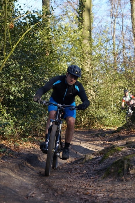
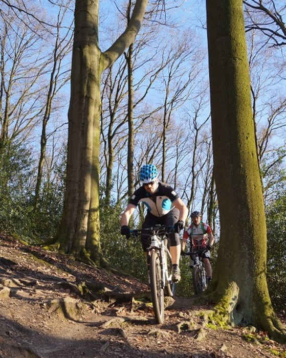
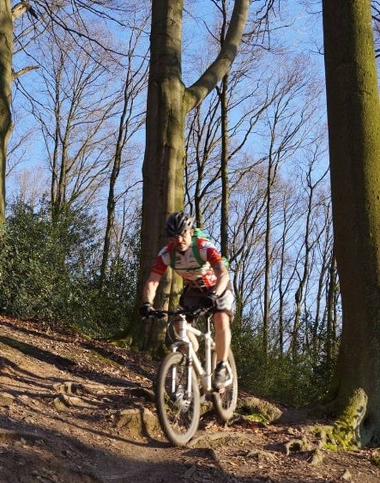
Tour gallery
Tour map and elevation profile
Minimum height 41 m
Maximum height 116 m
More about the tour author
|
|
MarcusVergin |
Comments
GPS tracks
Trackpoints-
GPX / Garmin Map Source (gpx) download
-
TCX / Garmin Training Center® (tcx) download
-
CRS / Garmin Training Center® (crs) download
-
Google Earth (kml) download
-
G7ToWin (g7t) download
-
TTQV (trk) download
-
Overlay (ovl) download
-
Fugawi (txt) download
-
Kompass (DAV) Track (tk) download
-
Track data sheet (pdf) download
-
Original file of the author (gpx) download
More about the tour author
|
|
MarcusVergin |
Add to my favorites
Remove from my favorites
Edit tags
Open track
My score
Rate
Nice Track