

Tach auch!
Bislang galten die Altenberger Berge als unüberwindbar-das soll sich nun mit der Süd-Nordroute ändern!
Eine Menge Bergische Highlights habe ich eingebaut-viel Spaß!
Bergisch Gladbach-Altenberg-Pfannkuchenmühle-Rausmühle-Sengbachtalsperre-Lukasweg-Hasenmühle-Sg-Aufderhöh-Ohligs-Bahnhof
Viel Spaß,
Cheers, TIMTIMnaviagtion
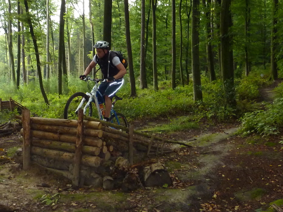
Tour gallery

Tour map and elevation profile
Minimum height 70 m
Maximum height 292 m
More about the tour author
|
|
TIMTIMnavigation |
Comments

START: S-Bahnhof Bergisch Gladbach
FINAL DESTINATION: Solingen Hauptbahnhof (ehemals Ohligs Bahnhof)
GPS tracks
Trackpoints-
GPX / Garmin Map Source (gpx) download
-
TCX / Garmin Training Center® (tcx) download
-
CRS / Garmin Training Center® (crs) download
-
Google Earth (kml) download
-
G7ToWin (g7t) download
-
TTQV (trk) download
-
Overlay (ovl) download
-
Fugawi (txt) download
-
Kompass (DAV) Track (tk) download
-
Track data sheet (pdf) download
-
Original file of the author (gpx) download
More about the tour author
|
|
TIMTIMnavigation |
Add to my favorites
Remove from my favorites
Edit tags
Open track
My score
Rate