


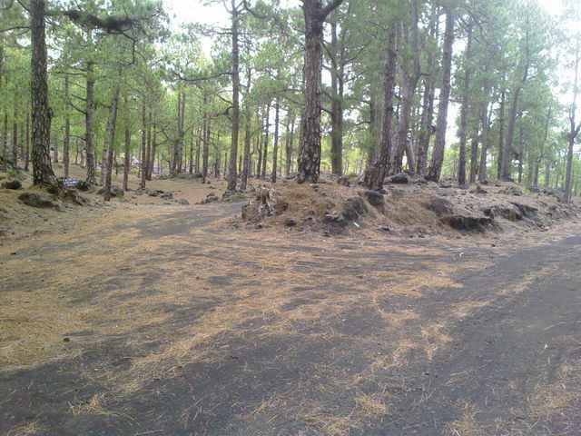
Die Tour startet in Fuencaliente. Zunächst geht es am Sportplatz vorbei in die Cumbre hinein. Auf etwa 1.000 Höhenmeter stößt man auf den Rundweg um die Cumbre Vieja, der größtenteils aus Wirtschaftswegen besteht. Die Route westlich ist etwas länger, aber weniger steil, deshalb haben wir mit ihr als Aufstieg begonnen. Etwa am Refugio El Pilar ist der Scheitelpunkt der Tour bei ca. 1.500 Höhenmeter. Ab da geht es auf der östlichen Seite der Insel wieder hinunter nach Fuencaliente.
Tour gallery
Tour map and elevation profile
Minimum height 642 m
Maximum height 1490 m
More about the tour author

|
MarinJ |
Comments

Fuencaliente liegt an der Hauptstrasse, die um die Insel herumführt.
GPS tracks
Trackpoints-
GPX / Garmin Map Source (gpx) download
-
TCX / Garmin Training Center® (tcx) download
-
CRS / Garmin Training Center® (crs) download
-
Google Earth (kml) download
-
G7ToWin (g7t) download
-
TTQV (trk) download
-
Overlay (ovl) download
-
Fugawi (txt) download
-
Kompass (DAV) Track (tk) download
-
Track data sheet (pdf) download
-
Original file of the author (gpx) download
More about the tour author
|
|
MarinJ |
Add to my favorites
Remove from my favorites
Edit tags
Open track
My score
Rate