Login

Forgotten password?

Cookies have to be accepted!
Your browser's cookie functionality is disabled. Please enable this functionality.

Not a member yet?

Register now
Login

Available for registred users only

Log in to use this feature.

Forgotten password?

Cookies have to be accepted!
Your browser's cookie functionality is disabled. Please enable this functionality.

Not a member yet?

Register now
Filter
Categories
Advanced filters
  • Distance (km)
  • Height
Save filters Reset filter

TrackRank

QRCode

Technical data

Distance11,6 km Height320 m Way down415 m Duration03:00 h:m Date31.03.2014
Scores Author Landscape Fun factor Fitness Technique

Statistics

822 Views Scores 17 Downloads Average
Rate
  • Track data sheet
  • Directions
  • Downloads

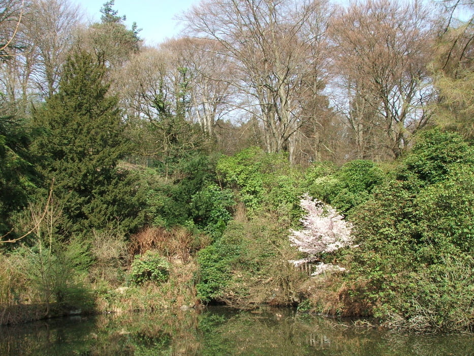
Wegverlauf: Sandhof - Friedenshöhe - Kaiser=Friedrich=Höhe - Toelleturm - Vorwerkpark - Barmer Wald - Barmer Anlagen - Barmen Bf.


Tour gallery

Tour map and elevation profile

  • Open Street Map
  • Google
Minimum height 163 m Maximum height 336 m Detailed view

More about the tour author

lothardomnik
Member since 2009

Send private message

Comments

Mit Buslinie 625 von Wuppertal Hbf. bis Sandhof

Ab Barmen Bf. mit Zug bis Wuppertal Hbf.


GPS tracks

Trackpoints
  • GPX / Garmin Map Source (gpx) download
  • TCX / Garmin Training Center® (tcx) download
  • CRS / Garmin Training Center® (crs) download
  • Google Earth (kml) download
  • G7ToWin (g7t) download
  • TTQV (trk) download
  • Overlay (ovl) download
  • Fugawi (txt) download
  • Kompass (DAV) Track (tk) download
  • Track data sheet (pdf) download
  • Original file of the author (gpx) download

More about the tour author

lothardomnik
Member since 2009

Send private message
Share track
Add to my favorites
Remove from my favorites
Edit tags
My score
Rate
Track: Bergisches Land: Wuppertal (1)
Type: Hiking
Distance: 11,6 km
Evaluated on:
Duration:
Day(s)
Hour(s)
Minute(s)
Score: Landscape Fun factor Fitness Technique