


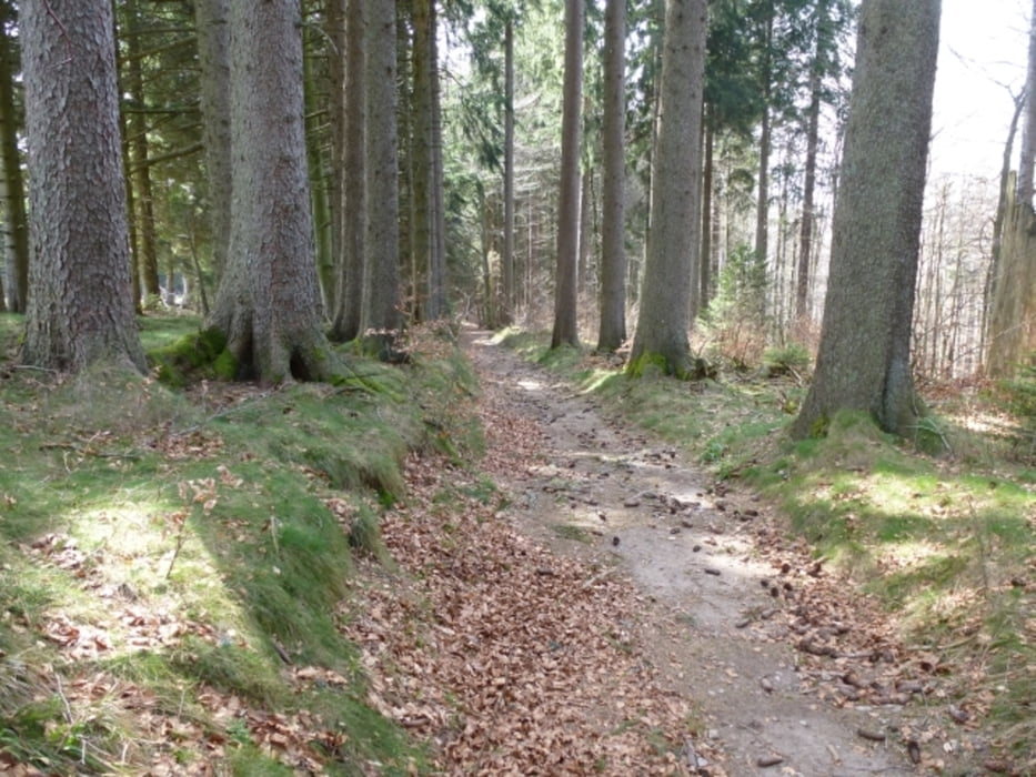
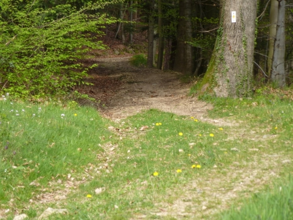
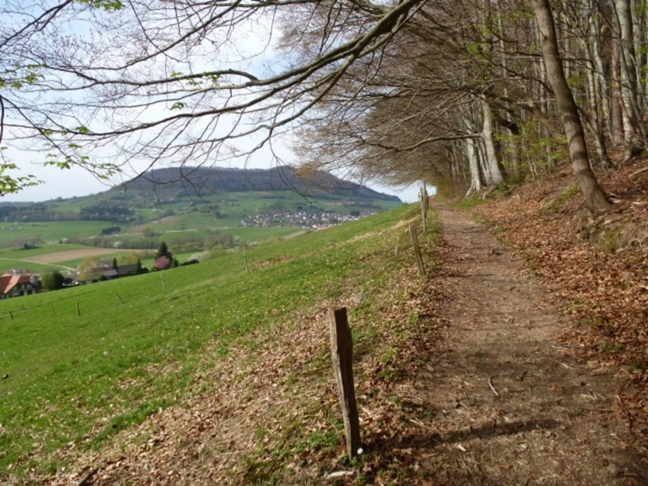
Tour startet am Biosk am Alten Messplatz im Freiburger Osten. Über Forstwege bis zum Schauinslandgipfel. Höchster Punkt. Von dort teils Forstweg teils schöner Trail, manchmal flowig, manchmal Wurzeln, zu den Kohlerhöfen. Einkehr. Abfahrt überwiegend FW nach St.Ulrich, dann über den Buckel ins Hexental. Am Hang entlang runter nach Au und nochmal einen Schlenker hoch zum Predigerplatz. Von dort ein paar kleine Trails zur Wonnhalde und zurück zum Biosk. Schöne Ausblicke.
Tour gallery

Tour map and elevation profile
Minimum height 293 m
Maximum height 1290 m
More about the tour author
|
|
Joachim59 |
Comments

Tour startet am Biosk am Alten Messplatz im Freiburger Osten.
GPS tracks
Trackpoints-
GPX / Garmin Map Source (gpx) download
-
TCX / Garmin Training Center® (tcx) download
-
CRS / Garmin Training Center® (crs) download
-
Google Earth (kml) download
-
G7ToWin (g7t) download
-
TTQV (trk) download
-
Overlay (ovl) download
-
Fugawi (txt) download
-
Kompass (DAV) Track (tk) download
-
Track data sheet (pdf) download
-
Original file of the author (gpx) download
More about the tour author
|
|
Joachim59 |
Add to my favorites
Remove from my favorites
Edit tags
Open track
My score
Rate