


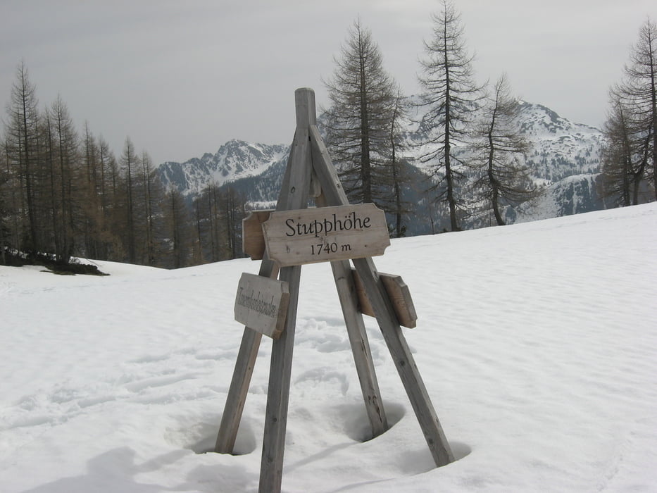
Vom Parkplatz in Zauchensee in südlicher Richtung vorbei an der Oberzauchenseealm und hinauf zur Stubhöhe (1739 m).
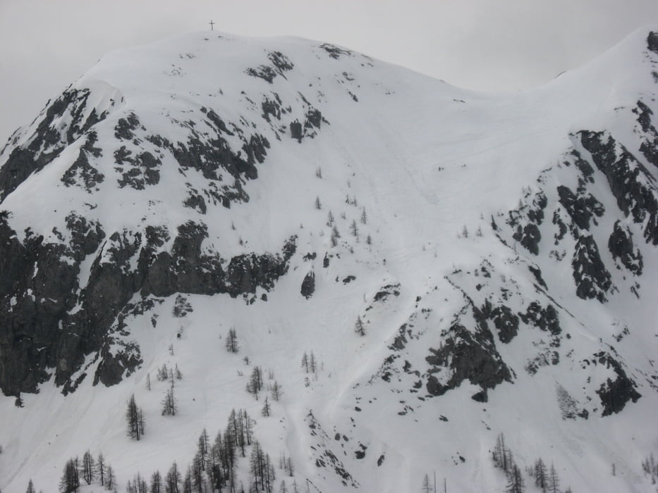
Hier nach Norden auf den Leckriedel (1846 m). Über einen weiteren Gipfel erreicht man die Bergstation und den Schlaningsattel.
Von hier entweder über die Sonnalm und die Forststraße ins Tal oder bei geringerer Schneelage auf der blauen Piste Richtung Oberzauchenseealm und zurück zum Parkplatz.
Tour gallery
Tour map and elevation profile
Minimum height 1348 m
Maximum height 1884 m
More about the tour author

|
JoHangler |
Comments

Auf der Tauernautobahn A 10 bis zum Knoten Ennstal und nach Altenmarkt.
GPS tracks
Trackpoints-
GPX / Garmin Map Source (gpx) download
-
TCX / Garmin Training Center® (tcx) download
-
CRS / Garmin Training Center® (crs) download
-
Google Earth (kml) download
-
G7ToWin (g7t) download
-
TTQV (trk) download
-
Overlay (ovl) download
-
Fugawi (txt) download
-
Kompass (DAV) Track (tk) download
-
Track data sheet (pdf) download
-
Original file of the author (gpx) download
More about the tour author
|
|
JoHangler |
Add to my favorites
Remove from my favorites
Edit tags
Open track
My score
Rate