


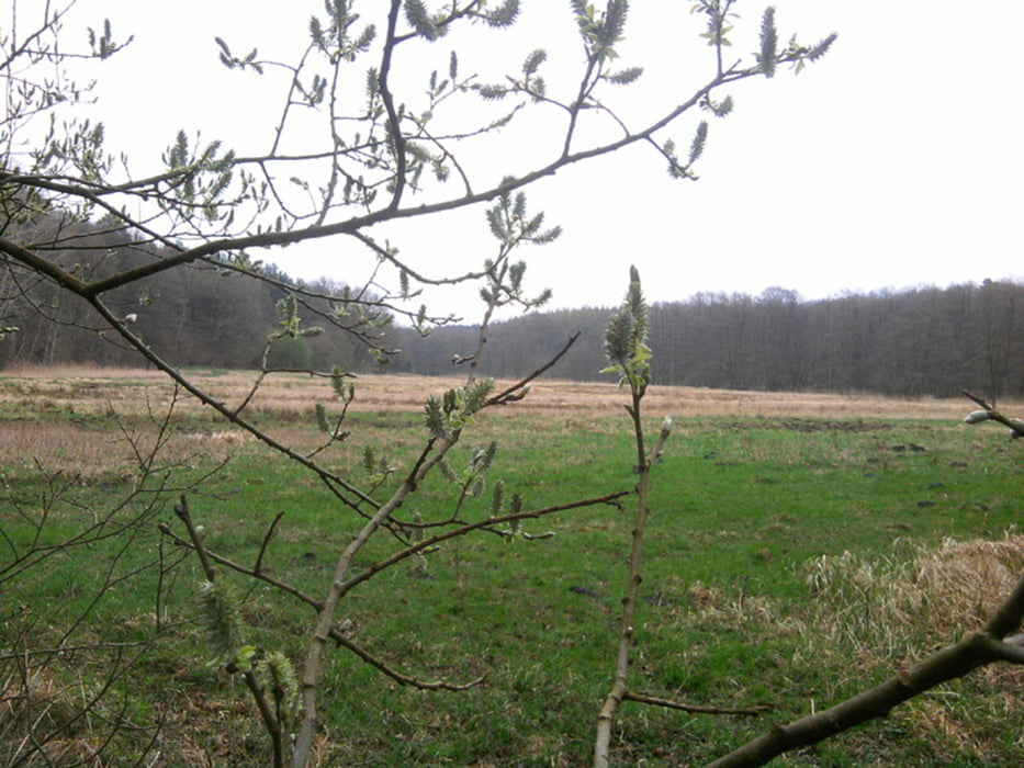
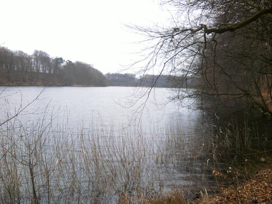
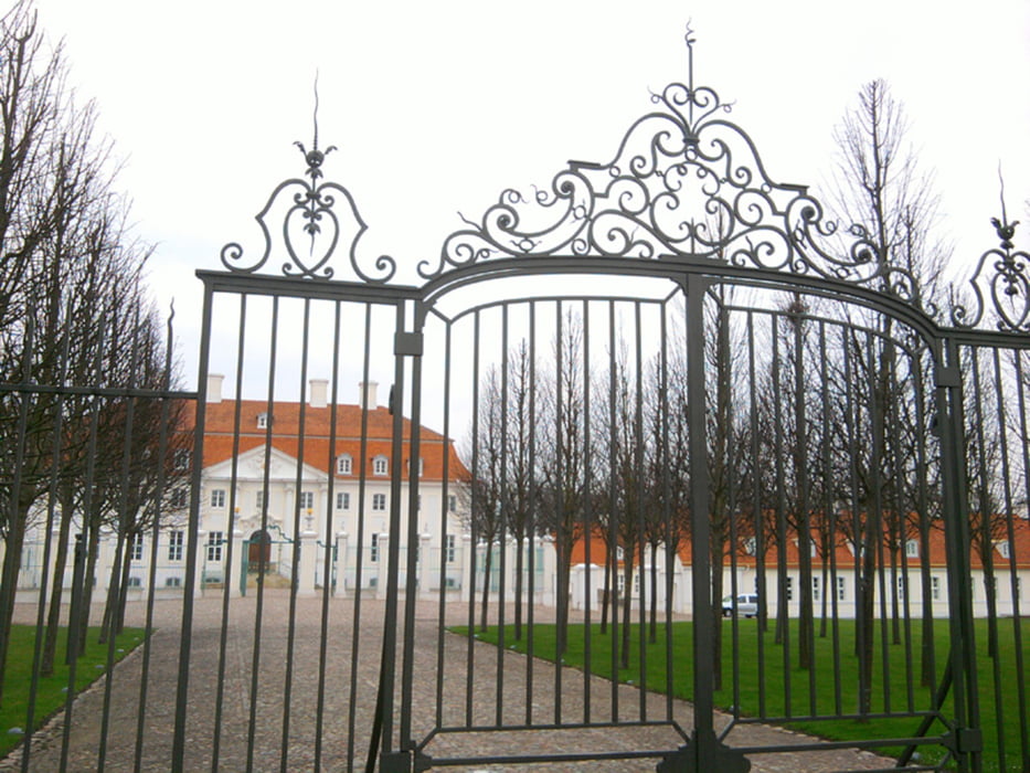
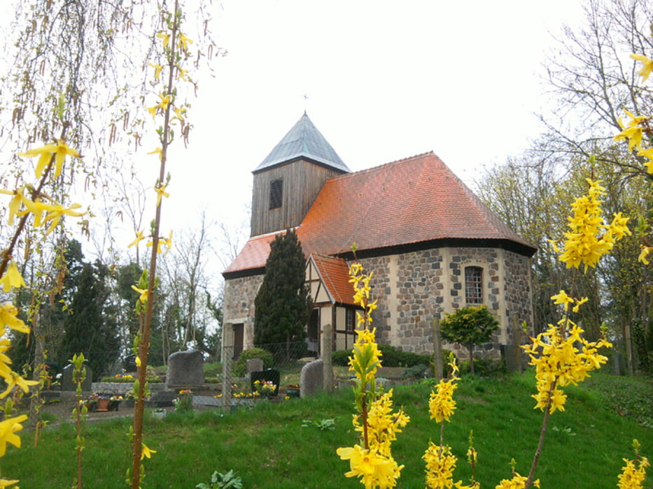
Am Lindower Rhin und dem Huwenowsee entlang nach Meseberg, zurück am Großen und Kleinen Dölschsee, dem Kirch- und dem Salchowsee entlang, durch Baumgarten zurück nach Lindow - insgesamt knapp 24 km.
Zwischendurch hat's ein wenig genieselt. Als die Sonne rauskam, war ich schon auf dem Rückweg durch Brandenburgs Kiefernwälder.
Further information at
http://www.rhahn.de/touren/lindow-meseberg/index.htmlTour gallery
Tour map and elevation profile
Minimum height 56 m
Maximum height 160 m
More about the tour author

|
xxrhahn |
Comments

Mit dem Regionalexpress bis Neuruppin, von dort fährt ein Bus (alles stündlich, am Wochenende alle zwei Stunden)
Start und Ziel waren für mich an der Sportschule. Wer mit dem Auto anreist, kann dort parken. Am Ende des Parkplatzes ist ein Tor, durch das man zum Startpunkt der Tour gelangt.
Von der Bushaltestelle am Markt in Lindow führt ein herrlicher Wanderweg direkt am Wutzsee entlang. Er stößt direkt auf das o.g. Tor.
GPS tracks
Trackpoints-
GPX / Garmin Map Source (gpx) download
-
TCX / Garmin Training Center® (tcx) download
-
CRS / Garmin Training Center® (crs) download
-
Google Earth (kml) download
-
G7ToWin (g7t) download
-
TTQV (trk) download
-
Overlay (ovl) download
-
Fugawi (txt) download
-
Kompass (DAV) Track (tk) download
-
Track data sheet (pdf) download
-
Original file of the author (gpx) download
More about the tour author
|
|
xxrhahn |
Add to my favorites
Remove from my favorites
Edit tags
Open track
My score
Rate