


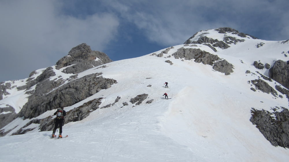
E' una salita completa, di grande soddisfazione, presenta pendenze di 40°
Escursione molto impegnativa presenta difficoltà e pendenze molto sostenute pertanto è consigliabile solo a sciatori/alpinisti particolarmente esperti che abbiano anche un ottima capacità di valutazione delle condizioni del manto nevoso. Da farsi solamente in condizioni di neve molto stabile. Consigliati l'uso di picozza, ramponi, rampat e casco.
Tour gallery

Tour map and elevation profile
Minimum height 1287 m
Maximum height 2728 m
More about the tour author

|
dalle6161 |
Comments

GPS tracks
Trackpoints-
GPX / Garmin Map Source (gpx) download
-
TCX / Garmin Training Center® (tcx) download
-
CRS / Garmin Training Center® (crs) download
-
Google Earth (kml) download
-
G7ToWin (g7t) download
-
TTQV (trk) download
-
Overlay (ovl) download
-
Fugawi (txt) download
-
Kompass (DAV) Track (tk) download
-
Track data sheet (pdf) download
-
Original file of the author (gpx) download
More about the tour author
|
|
dalle6161 |
Add to my favorites
Remove from my favorites
Edit tags
Open track
My score
Rate