Login

Forgot your login?

Cookies have to be accepted!
Your browser's cookie functionality is disabled. Please enable this functionality.

Not a member yet?

Register now
Login

Available for registred users only

Log in to use this feature.

Forgot your login?

Cookies have to be accepted!
Your browser's cookie functionality is disabled. Please enable this functionality.

Not a member yet?

Register now
Filter
Categories
Advanced filters
  • Distance (km)
  • Height
Save filters Reset filter

TrackRank

QRCode

Technical data

Distance36,5 km Height1609 m Way down1608 m Duration06:00 h:m Date13.04.2014
Scores Author Landscape Fun factor Fitness Technique

Statistics

367 Views Scores 11 Downloads Average
Rate
  • Track data sheet
  • Directions
  • Downloads
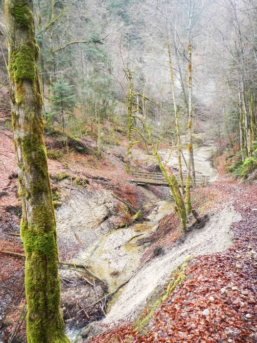
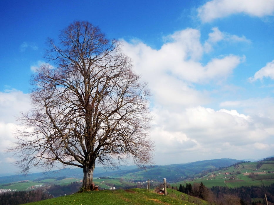
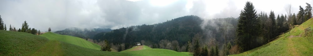
Vom Tal der kleinen Emme dem Emmenuferweg entlang in die Hügellandschaft des Napfberglandes.
Abwechslungsreiche Ein- und Ausblicke.

Tour gallery

Tour map and elevation profile

  • Open Street Map
  • Google
Minimum height 493 m Maximum height 1412 m Detailed view

More about the tour author

Sigiger
Member since 2014

Send private message

Comments

Ab Luzern (Autobahn ab Zürich / Basel / Gotthard) Richtung Wolhusen. Parkmöglichkeiten beim örtlichen Einkaufscenter (Dorfmärt) ausgangs Wolhusen Richtung Entlebuch.

GPS tracks

Trackpoints
  • GPX / Garmin Map Source (gpx) download
  • TCX / Garmin Training Center® (tcx) download
  • CRS / Garmin Training Center® (crs) download
  • Google Earth (kml) download
  • G7ToWin (g7t) download
  • TTQV (trk) download
  • Overlay (ovl) download
  • Fugawi (txt) download
  • Kompass (DAV) Track (tk) download
  • Track data sheet (pdf) download
  • Original file of the author (gpx) download

More about the tour author

Sigiger
Member since 2014

Send private message
Share track
Add to my favorites
Remove from my favorites
Edit tags
My score
Rate
Track: Rundwanderung Napf
Type: Hiking
Distance: 36,5 km
Evaluated on:
Duration:
Day(s)
Hour(s)
Minute(s)
Score: Landscape Fun factor Fitness Technique