Login

Forgot your login?

Cookies have to be accepted!
Your browser's cookie functionality is disabled. Please enable this functionality.

Not a member yet?

Register now
Login

Available for registred users only

Log in to use this feature.

Forgot your login?

Cookies have to be accepted!
Your browser's cookie functionality is disabled. Please enable this functionality.

Not a member yet?

Register now
Filter
Categories
Advanced filters
  • Distance (km)
  • Height
Save filters Reset filter

TrackRank

QRCode

Technical data

Distance43,9 km Height374 m Way down372 m Duration02:30 h:m Date13.04.2014
Scores Author Landscape Fun factor Fitness Technique

Statistics

1996 Views 1 Score 187 Downloads 5.00 Average
Rate
  • Track data sheet
  • Directions
  • Downloads

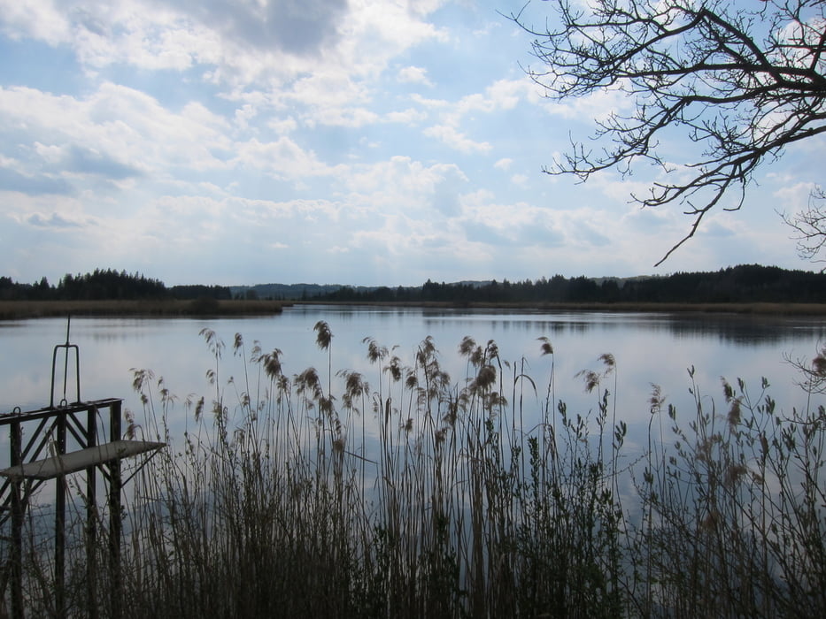
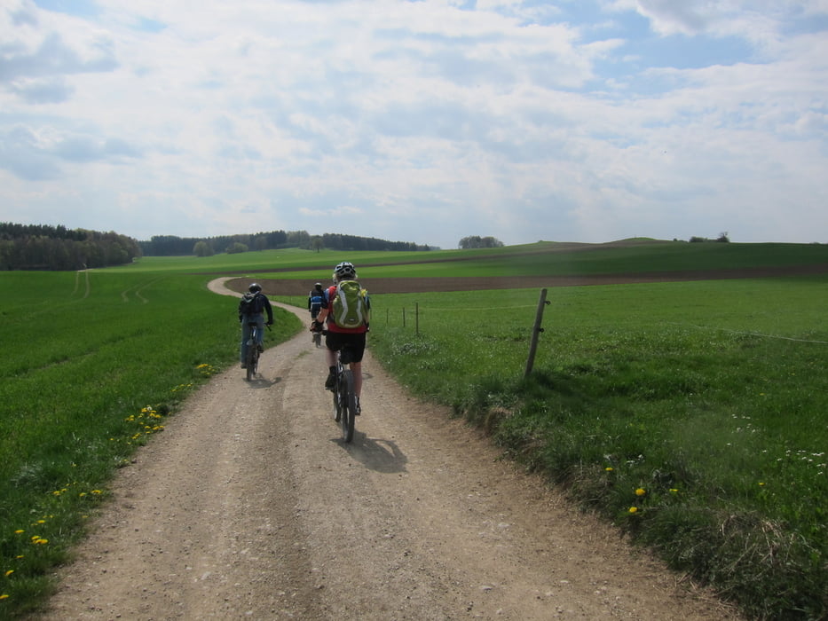
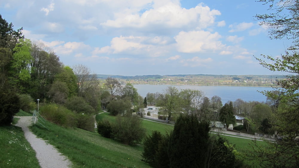
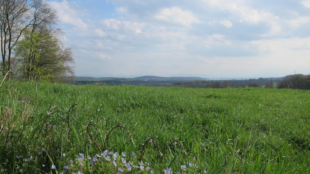
Wunderschöne Tour von Gauting zur Westseite des Starnberger Sees. Immer auf guten Wegen geht es hügelig dahin mit den Alpen immer wieder im Blick.

Start in Gauting - an Unterbrunn vorbei - Oberbrunn - Unering - Landstetten - perfekte Bergsicht über Aschering - Aschering - Maisinger See - Maising - Maisinger Schlucht - Prinzenweg - Starnberg - Leutstetten - Würmweg - Gauting

Viel Spaß beim Nachfahren


Tour gallery

Tour map and elevation profile

  • Open Street Map
  • Google
Minimum height 562 m Maximum height 698 m Detailed view

More about the tour author

leichergps
Member since 2008

Send private message

Comments

GPS tracks

Trackpoints
  • GPX / Garmin Map Source (gpx) download
  • TCX / Garmin Training Center® (tcx) download
  • CRS / Garmin Training Center® (crs) download
  • Google Earth (kml) download
  • G7ToWin (g7t) download
  • TTQV (trk) download
  • Overlay (ovl) download
  • Fugawi (txt) download
  • Kompass (DAV) Track (tk) download
  • Track data sheet (pdf) download
  • Original file of the author (gpx) download

More about the tour author

leichergps
Member since 2008

Send private message
Share track
Add to my favorites
Remove from my favorites
Edit tags
My score
Rate
Track: Auf schönen Wegen zum Maisinger See, zur Maisinger Schlucht nach Starnberg
Type: Mountain bike
Distance: 43,9 km
Evaluated on:
Duration:
Day(s)
Hour(s)
Minute(s)
Score: Landscape Fun factor Fitness Technique