Login

Forgot your login?

Cookies have to be accepted!
Your browser's cookie functionality is disabled. Please enable this functionality.

Not a member yet?

Register now
Login

Available for registred users only

Log in to use this feature.

Forgot your login?

Cookies have to be accepted!
Your browser's cookie functionality is disabled. Please enable this functionality.

Not a member yet?

Register now
Filter
Categories
Advanced filters
  • Distance (km)
  • Height
Save filters Reset filter

TrackRank

QRCode

Technical data

Distance10,1 km Height151 m Way down124 m Duration02:15 h:m Date18.04.2014
Scores Author Landscape Fun factor Fitness Technique

Statistics

1930 Views Scores 35 Downloads Average
Rate
  • Track data sheet
  • Directions
  • Downloads

Schoene Runde beginnend am Schillerhain in Kirchheimbolanden.

Entspricht weitestgehend dem Wanderweg R7, ergaenzt um einen Abstecher zu ''Schoene Aussicht' und 'Drosselfels'.
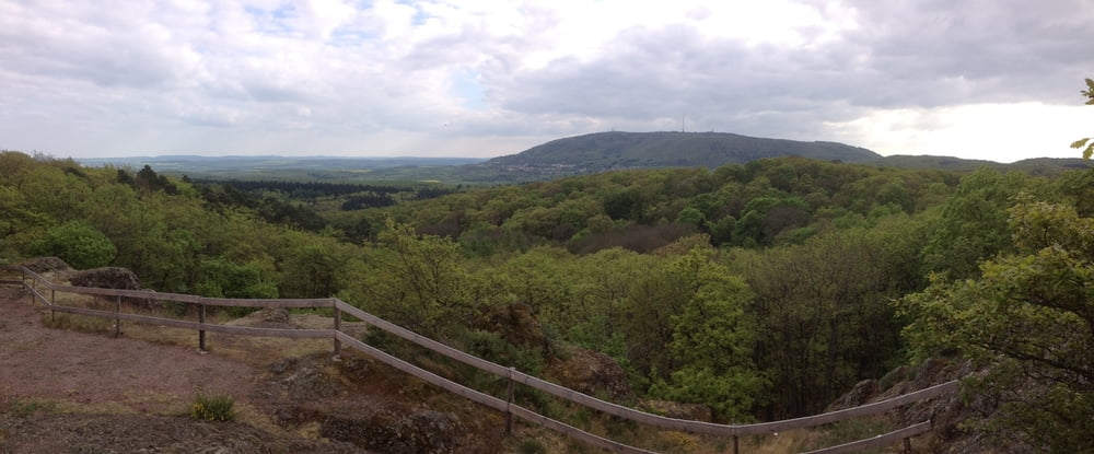
Tour gallery

Tour map and elevation profile

  • Open Street Map
  • Google
Minimum height 356 m Maximum height 478 m Detailed view

More about the tour author

otti42
Member since 2011

Send private message

Comments

Kirchheimbolanden Parkplatz Schillerhain


GPS tracks

Trackpoints
  • GPX / Garmin Map Source (gpx) download
  • TCX / Garmin Training Center® (tcx) download
  • CRS / Garmin Training Center® (crs) download
  • Google Earth (kml) download
  • G7ToWin (g7t) download
  • TTQV (trk) download
  • Overlay (ovl) download
  • Fugawi (txt) download
  • Kompass (DAV) Track (tk) download
  • Track data sheet (pdf) download
  • Original file of the author (gpx) download

More about the tour author

otti42
Member since 2011

Send private message
Share track
Add to my favorites
Remove from my favorites
Edit tags
My score
Rate
Track: Schillerhain Kirchheimbolanden
Type: Hiking
Distance: 10,1 km
Evaluated on:
Duration:
Day(s)
Hour(s)
Minute(s)
Score: Landscape Fun factor Fitness Technique