Login

Forgot your login?

Cookies have to be accepted!
Your browser's cookie functionality is disabled. Please enable this functionality.

Not a member yet?

Register now
Login

Available for registred users only

Log in to use this feature.

Forgot your login?

Cookies have to be accepted!
Your browser's cookie functionality is disabled. Please enable this functionality.

Not a member yet?

Register now
Filter
Categories
Advanced filters
  • Distance (km)
  • Height
Save filters Reset filter

TrackRank

QRCode

Technical data

Distance34,6 km Height399 m Way down394 m Duration03:00 h:m Date20.04.2014
Scores Author Landscape Fun factor Fitness Technique

Statistics

592 Views Scores 65 Downloads Average
Rate
  • Track data sheet
  • Directions
  • Downloads
Tour mit Startpunkt Heinersreuth (alternativ Bayreuth Parkplatz Klinikum). Einige kurze Trails im Wald der Waldhütte Richtung Dörnhof und Eckersdorf. Schöne Einkehrmöglichkeit im Gasthaus Tröbersdorf. Danach Part zum Auspowern über Radweg Mistelgau zurück nach Bayreuth.
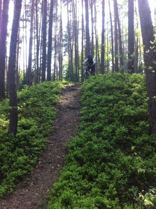
Tour gallery

Tour map and elevation profile

  • Open Street Map
  • Google
Minimum height 334 m Maximum height 459 m Detailed view

More about the tour author

ducguenne
Member since 2011

Send private message

Comments


Aus Richtung Bamberg (A70) (Abfahrt Kulmbach/Neudrossenfeld)


Aus Richtung Nürnberg (A9) (Abfahrt Bayreuth-Süd)


Aus Richtung Leipzig/Hof (A72/A9) (Abfahrt Bayreuth-Nord)
 

GPS tracks

Trackpoints
  • GPX / Garmin Map Source (gpx) download
  • TCX / Garmin Training Center® (tcx) download
  • CRS / Garmin Training Center® (crs) download
  • Google Earth (kml) download
  • G7ToWin (g7t) download
  • TTQV (trk) download
  • Overlay (ovl) download
  • Fugawi (txt) download
  • Kompass (DAV) Track (tk) download
  • Track data sheet (pdf) download
  • Original file of the author (gpx) download

More about the tour author

ducguenne
Member since 2011

Send private message
Share track
Add to my favorites
Remove from my favorites
Edit tags
My score
Rate
Track: Heinersreuth-Dornhof-Eckersdorf-Trobersdorf-Mistelgau-Bayreuth(Klinikum)
Type: Mountain bike
Distance: 34,6 km
Evaluated on:
Duration:
Day(s)
Hour(s)
Minute(s)
Score: Landscape Fun factor Fitness Technique