Login

Forgot your login?

Cookies have to be accepted!
Your browser's cookie functionality is disabled. Please enable this functionality.

Not a member yet?

Register now
Login

Available for registred users only

Log in to use this feature.

Forgot your login?

Cookies have to be accepted!
Your browser's cookie functionality is disabled. Please enable this functionality.

Not a member yet?

Register now
Filter
Categories
Advanced filters
  • Distance (km)
  • Height
Save filters Reset filter

TrackRank

QRCode

Technical data

Distance51,8 km Height396 m Way down400 m Duration02:15 h:m Date20.04.2014
Scores Author Landscape Fun factor Fitness Technique

Statistics

872 Views Scores 64 Downloads Average
Rate
  • Track data sheet
  • Directions
  • Downloads
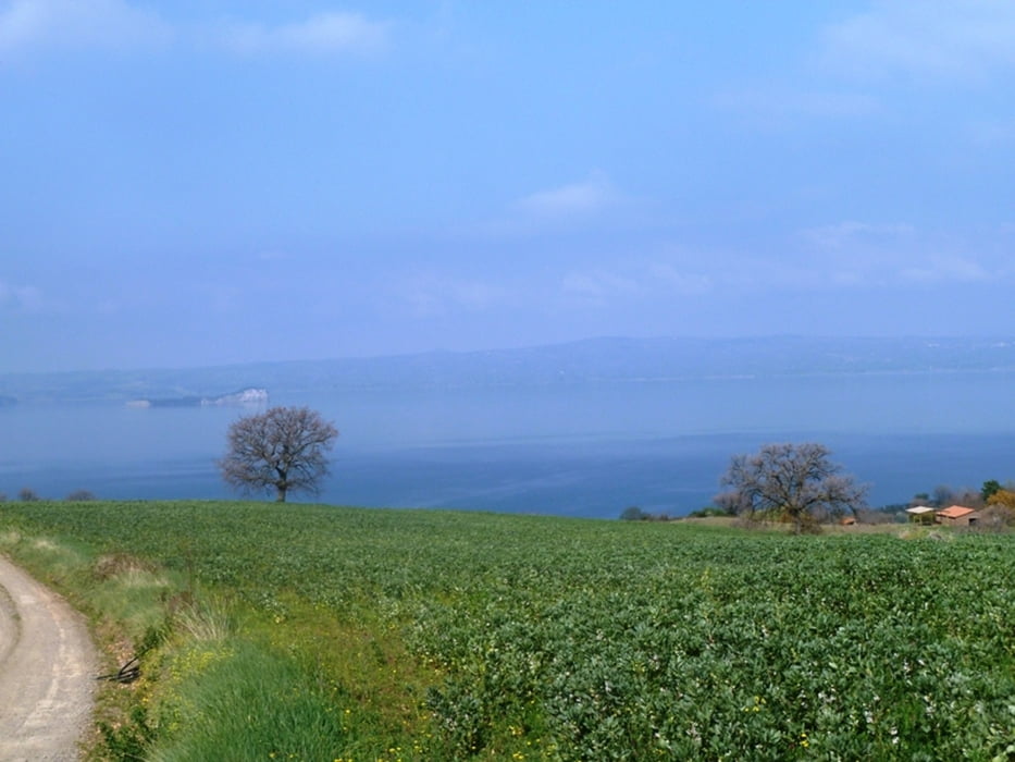
GIRO DEL LAGO DI BOLSENA CERCANDO DI FARE MENO ASFALTO E MENO DISLIVELLO POSSIBILE. TECNICAMENTE FACILE PAESAGGISTICAMENTE MOLTO BELLO. AL KM 40 TENERE SUBITO LA SX, IO HO FATTO CIRCA 1 KM SUL LUNGOLAGO SU STRADA STERRATA SENZA USCITA. BEL GIRO 

Tour map and elevation profile

  • Open Street Map
  • Google
Minimum height 309 m Maximum height 530 m Detailed view

More about the tour author

mikyross
Member since 2014

Send private message

Comments

PARTENZA DAL CENTRO DI BOLSENA

GPS tracks

Trackpoints
  • GPX / Garmin Map Source (gpx) download
  • TCX / Garmin Training Center® (tcx) download
  • CRS / Garmin Training Center® (crs) download
  • Google Earth (kml) download
  • G7ToWin (g7t) download
  • TTQV (trk) download
  • Overlay (ovl) download
  • Fugawi (txt) download
  • Kompass (DAV) Track (tk) download
  • Track data sheet (pdf) download
  • Original file of the author (gpx) download

More about the tour author

mikyross
Member since 2014

Send private message
Share track
Add to my favorites
Remove from my favorites
Edit tags
My score
Rate
Track: giro del lago di bolsena mtb
Type: Mountain bike
Distance: 51,8 km
Evaluated on:
Duration:
Day(s)
Hour(s)
Minute(s)
Score: Landscape Fun factor Fitness Technique