


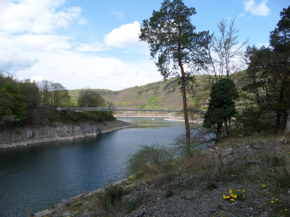
Wir starten am Wanderparkplatz in Wolfgarten im Nationalpark Eifel und laufen größtenteils durch den Wald bis wir an die Victor Neels Brücke, einer Stahlhängebrücke an der Urfttalsperre kommen. Nun wandern wir ein langes Stück am Lorbach entlang bis wir wieder in den Wald in Richtung Wolfgarten gehen. In Wolfgarten besteigen wir dann noch den Feuerturm und beenden kurz darauf die Wanderung am Parkplatz. Wer mag, stärkt sich gegenüber noch in der "Kermeterschänke".
Tour gallery


Tour map and elevation profile
Minimum height 315 m
Maximum height 521 m
More about the tour author
|
|
Wandersocken |
Comments

Wanderparkplatz 53937 Schleiden-Wolfgarten Mariawald 1
GPS tracks
Trackpoints-
GPX / Garmin Map Source (gpx) download
-
TCX / Garmin Training Center® (tcx) download
-
CRS / Garmin Training Center® (crs) download
-
Google Earth (kml) download
-
G7ToWin (g7t) download
-
TTQV (trk) download
-
Overlay (ovl) download
-
Fugawi (txt) download
-
Kompass (DAV) Track (tk) download
-
Track data sheet (pdf) download
-
Original file of the author (gpx) download
More about the tour author
|
|
Wandersocken |
Add to my favorites
Remove from my favorites
Edit tags
Open track
My score
Rate