


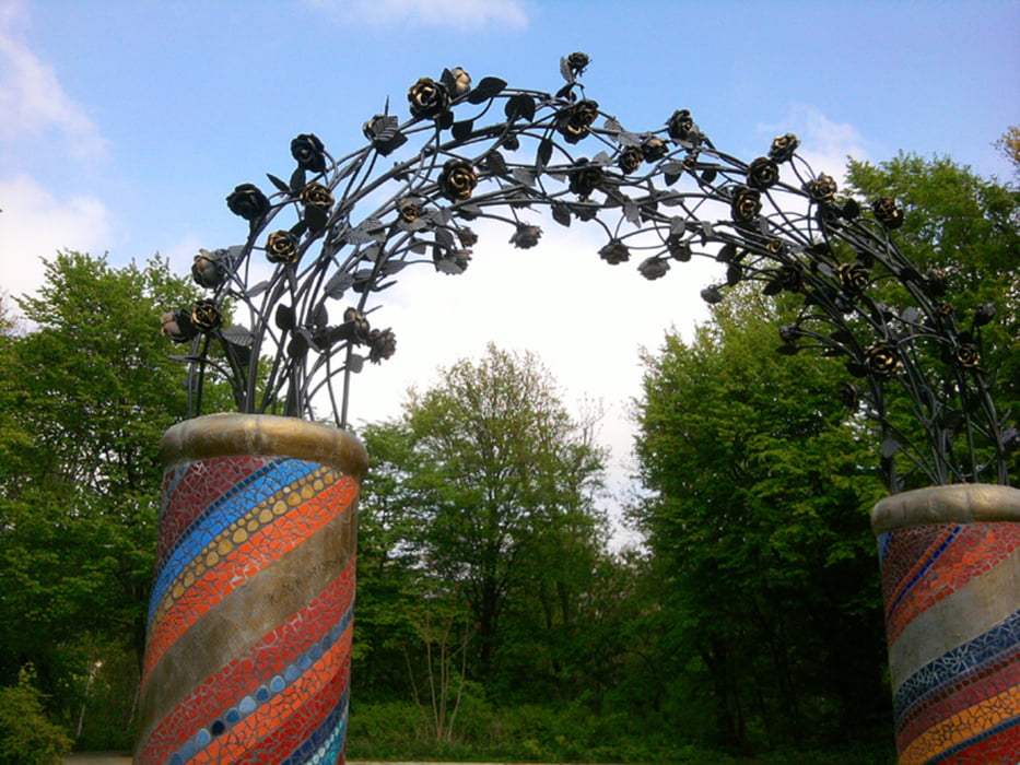
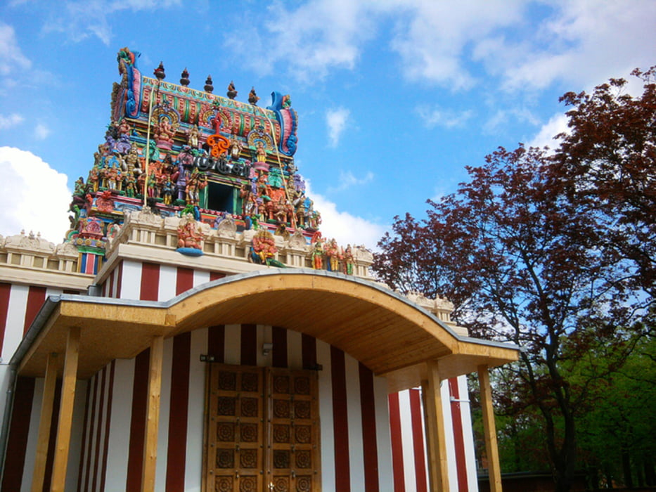
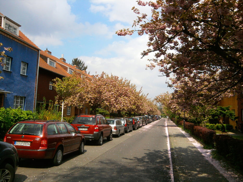
Bei gutem Wetter führte uns der traditionelle Osterspaziergang in den Berliner Bezirk Neukölln. Die erste Überraschung erwartete uns unmittelbar am Ausgangspunkt, dem Park am Buschkrug - Deutschlands größter Motorikpark. Nach einem kurzen Blick in einen Hindutempel ging's zum Welterbe Hufeisensiedlung.
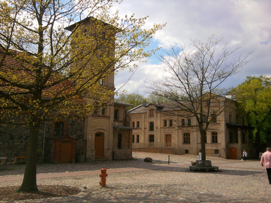
Unmittelbar vor Gutshof und Schloß Britz wieder eine Überraschung - ein Rummel. HuT besuchten ein 7D-Kino. Der Rest frönte Lukullus.
Durch Wald und Grün ging's zum Endpunkt des Spaziergangs, dem U-Bhf Johannisthaler Chaussee.
Nach den 7,5 km hatten wir uns das Eis an den Gropiuspassagen verdient.
Further information at
http://www.xxrhahn.de/touren/ostern-2014_hufeisen-britz/index.htmlTour gallery
Tour map and elevation profile
Minimum height 59 m
Maximum height 156 m
More about the tour author

|
xxrhahn |
Comments

Hinfahrt U-Bhf Blaschkoallee
Rückfahrt U-Bhf Johannisthaler Chaussee
GPS tracks
Trackpoints-
GPX / Garmin Map Source (gpx) download
-
TCX / Garmin Training Center® (tcx) download
-
CRS / Garmin Training Center® (crs) download
-
Google Earth (kml) download
-
G7ToWin (g7t) download
-
TTQV (trk) download
-
Overlay (ovl) download
-
Fugawi (txt) download
-
Kompass (DAV) Track (tk) download
-
Track data sheet (pdf) download
-
Original file of the author (gpx) download
More about the tour author
|
|
xxrhahn |
Add to my favorites
Remove from my favorites
Edit tags
Open track
My score
Rate