
 da Col Margherita")

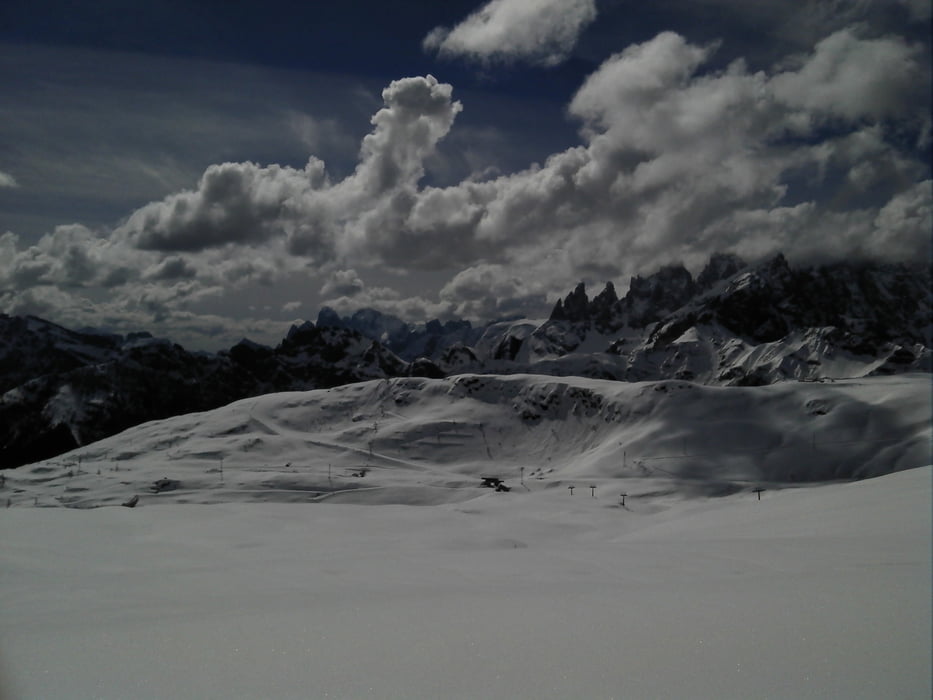
Facile salita di allenamento sulle piste di Col Margherita. Effettuata con piste chiuse; forse accessibile anche con piste aperte. L'itinerario di salita e quello di discesa sono intercambiabili; inoltre c'è la possibilità di collegare l'itinerario di discesa qui presentato con quello di salita (fra le due piste esiste un breve raccordo per il collegamento).
Tour gallery


Tour map and elevation profile
Minimum height 1878 m
Maximum height 2520 m
More about the tour author
|
|
Krzmir |
Comments

La partenza è dal piazzale della funivia di Col Margherita, un po' a valle di Passo San Pellegrino in direzione Falcade (Veneto). Il passo è facilmente raggiungibile dalla val di Fassa (lato Trentino) e dalla val Biois (lato Veneto).
GPS tracks
Trackpoints-
GPX / Garmin Map Source (gpx) download
-
TCX / Garmin Training Center® (tcx) download
-
CRS / Garmin Training Center® (crs) download
-
Google Earth (kml) download
-
G7ToWin (g7t) download
-
TTQV (trk) download
-
Overlay (ovl) download
-
Fugawi (txt) download
-
Kompass (DAV) Track (tk) download
-
Track data sheet (pdf) download
-
Original file of the author (gpx) download
More about the tour author
|
|
Krzmir |
Add to my favorites
Remove from my favorites
Edit tags
Open track
My score
Rate