


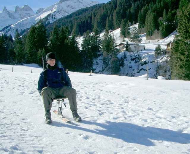
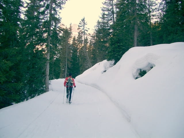
Von Latschau bei der Golmerbahn starten wir ins Gauertal. Vorbei an Gauen gehen wir bergwärts mit Blick auf Drusenfluh und Drei Türme zur Lindauer Hütte. Die Öffnungszeiten der Lindauer Hütte im Winter nur Weihnacht bis Neujahr und Anfang bis Ende März. Habe die Touraufzeichnung leider nur Talwärts, diese ist aber gleich wie der Aufstieg. Wir haben diese Tour als Kombination Schneeschuh/Rodeltour gemacht.
Tour gallery
Tour map and elevation profile
Minimum height 993 m
Maximum height 1764 m
More about the tour author
|
|
Bockrider |
Comments

Von Arlbergstrasse ins Montafon und Tschagguns Latschau zum Parkplatz Golmerbahn.
GPS tracks
Trackpoints-
GPX / Garmin Map Source (gpx) download
-
TCX / Garmin Training Center® (tcx) download
-
CRS / Garmin Training Center® (crs) download
-
Google Earth (kml) download
-
G7ToWin (g7t) download
-
TTQV (trk) download
-
Overlay (ovl) download
-
Fugawi (txt) download
-
Kompass (DAV) Track (tk) download
-
Track data sheet (pdf) download
-
Original file of the author (gpx) download
More about the tour author
|
|
Bockrider |
Add to my favorites
Remove from my favorites
Edit tags
Open track
My score
Rate