Login

Forgotten password?

Cookies have to be accepted!
Your browser's cookie functionality is disabled. Please enable this functionality.

Not a member yet?

Register now
Login

Available for registred users only

Log in to use this feature.

Forgotten password?

Cookies have to be accepted!
Your browser's cookie functionality is disabled. Please enable this functionality.

Not a member yet?

Register now
Filter
Categories
Advanced filters
  • Distance (km)
  • Height
Save filters Reset filter

TrackRank

QRCode

Technical data

Distance195,8 km Height2998 m Way down2997 m Duration00:00 h:m Date28.04.2014
Scores Author Landscape Fun factor Fitness Technique

Statistics

499 Views Scores 92 Downloads Average
Rate
  • Track data sheet
  • Directions
  • Downloads

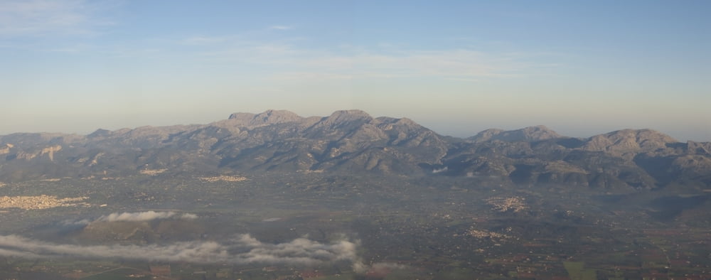
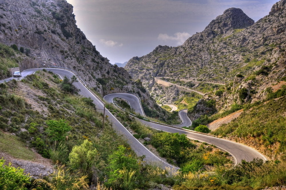
Die Idealvariante zur Königstour ab Polenca bzw. Alcudia.

Meine Empfehlung ist es, die Strecke gegen den Uhrzeigersinn zu fahren, die lange Abfahrt vom Tunnel beim Coll des Puig (840m) bis nach Soller ist ein Traum!


Tour gallery

Tour map and elevation profile

  • Open Street Map
  • Google
Minimum height 3 m Maximum height 871 m Detailed view

More about the tour author

Mathis_muc
Member since 2008

Send private message

Comments

GPS tracks

Trackpoints
  • GPX / Garmin Map Source (gpx) download
  • TCX / Garmin Training Center® (tcx) download
  • CRS / Garmin Training Center® (crs) download
  • Google Earth (kml) download
  • G7ToWin (g7t) download
  • TTQV (trk) download
  • Overlay (ovl) download
  • Fugawi (txt) download
  • Kompass (DAV) Track (tk) download
  • Track data sheet (pdf) download
  • Original file of the author (gpx) download

More about the tour author

Mathis_muc
Member since 2008

Send private message
Share track
Add to my favorites
Remove from my favorites
Edit tags
My score
Rate
Track: Mallorca_Alcudia-Königstour_Ideal
Type: Road biking
Distance: 195,8 km
Evaluated on:
Duration:
Day(s)
Hour(s)
Minute(s)
Score: Landscape Fun factor Fitness Technique