


Super Ritt entlang der Isartal Hügelkette bis fast Wartenberg dann weite XC Schleife zurück. Klasse Trails und paar super Aussichtspunkte gefunden ! Ein paar Streckenabschnitte von je ca 100 Metern können ggf bald stark bewachsen sein, aber mann kann diese Abschnitte auch umfahren. Der Spaßfaktor und die Landshaft ist bis Wartenberg deutlich höher als auf der Rückfahrt. Trotzdem eine tolle 4 Std Strecke für unsere Möglichkeiten. Viel Spaß!
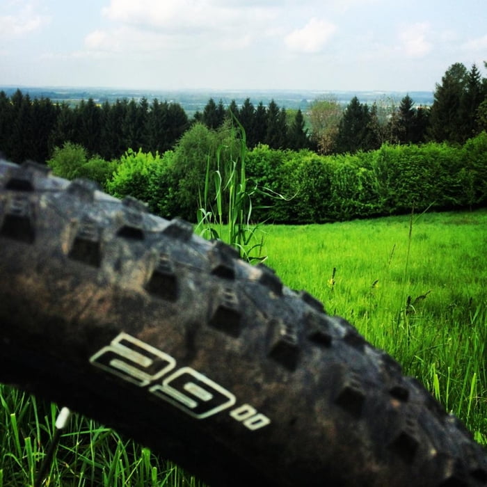
Tour gallery

Tour map and elevation profile
Minimum height 405 m
Maximum height 517 m
More about the tour author
|
|
UweEibel |
Comments
Start Landshut Berg , Parken Sportanlage TUS Berg.
GPS tracks
Trackpoints-
GPX / Garmin Map Source (gpx) download
-
TCX / Garmin Training Center® (tcx) download
-
CRS / Garmin Training Center® (crs) download
-
Google Earth (kml) download
-
G7ToWin (g7t) download
-
TTQV (trk) download
-
Overlay (ovl) download
-
Fugawi (txt) download
-
Kompass (DAV) Track (tk) download
-
Track data sheet (pdf) download
-
Original file of the author (gpx) download
More about the tour author
|
|
UweEibel |
Add to my favorites
Remove from my favorites
Edit tags
Open track
My score
Rate
Tour nur im Winter fahren
Also fahrt die Tour im Winter oder gleich im Frühjahr wenn der Pflanzenwuchs noch nicht begonnen hart.
Ansonsten ist die Runde sehr empfehlenswert. Das Ding aber in 4h zu fahren ging bei mir gar nicht. War 4:50 unterwegs.