


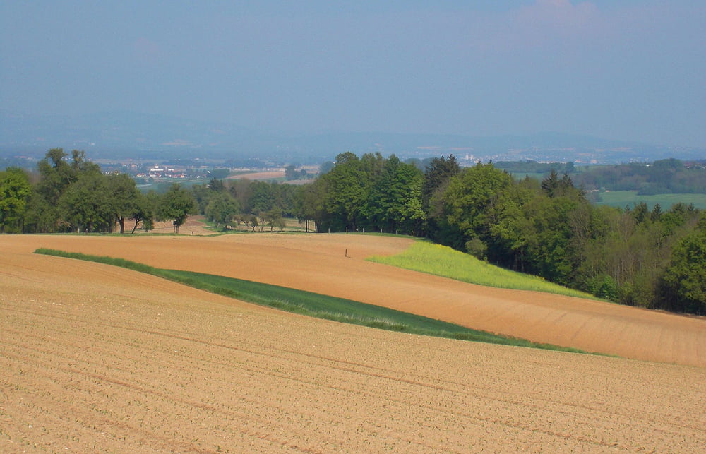
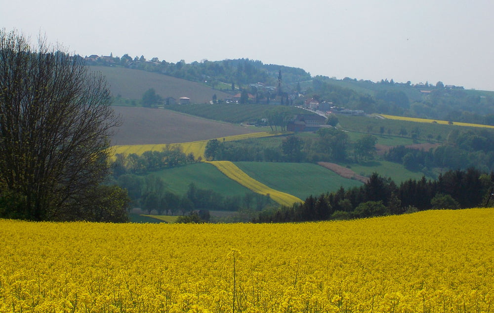
Sehr nette Radtour durchs Obst - und Hügelland. Besonders zur Zeit der Kirschblüte empfehlenswert.
Details zu dieser Tour erfahren Sie HIER
Further information at
http://www.satcom.at/obst-und-huegelland-radtour/Tour gallery


Tour map and elevation profile
Minimum height 277 m
Maximum height 442 m
More about the tour author
|
|
GarminSalzburg |
Comments

Von Wels Richtung Norden zunächst auf der Autobahn. Dann nach Buchkirchen und Scharten. Kurz vor Scharten in Roitham biegen Sie in die Hochschartenstrasse ein. Bei einem Wasserhäuschen befindet sich dann ein kleiner Parkplatz.
GPS tracks
Trackpoints-
GPX / Garmin Map Source (gpx) download
-
TCX / Garmin Training Center® (tcx) download
-
CRS / Garmin Training Center® (crs) download
-
Google Earth (kml) download
-
G7ToWin (g7t) download
-
TTQV (trk) download
-
Overlay (ovl) download
-
Fugawi (txt) download
-
Kompass (DAV) Track (tk) download
-
Track data sheet (pdf) download
-
Original file of the author (gpx) download
More about the tour author
|
|
GarminSalzburg |
Add to my favorites
Remove from my favorites
Edit tags
Open track
My score
Rate