


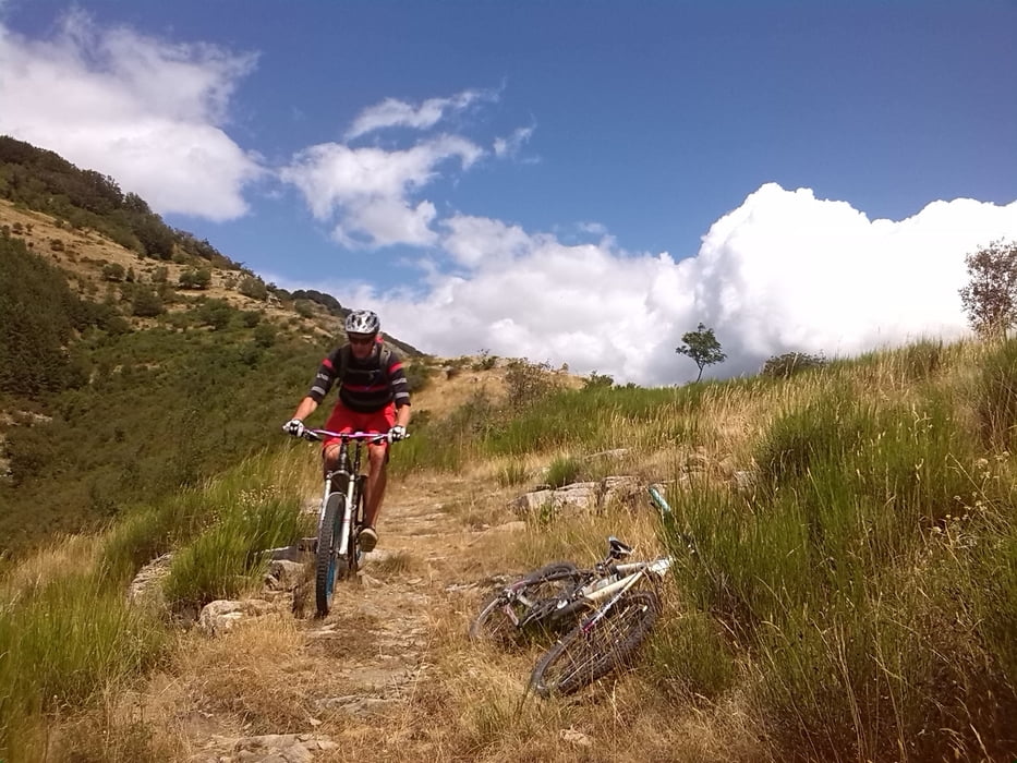
Panoramastrasse Schotter-Asphalt rauf, Gipfeltunnel, rechts durchs Gatter und zum Kreuz. Dann immer oben auf der Wiese lang, bis zuletzt der Weg steil die Kante wieder runter geht.
Nicht schwierig (S2) , meine 13jährige NIchte hatte als Gelegenheitsradlerin keine Probleme und musste nur an zwei drei Steilstücken runter schieben.
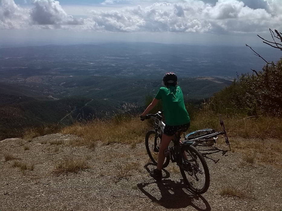
Durchweg super Panorama.
Tour gallery
Tour map and elevation profile
Minimum height 944 m
Maximum height 1582 m
More about the tour author
|
|
cxfahrer |
Comments

Wanderparkplatz oberhalb Anciolina, Anfahrt über Loro oder San Giustino möglich.
GPS tracks
Trackpoints-
GPX / Garmin Map Source (gpx) download
-
TCX / Garmin Training Center® (tcx) download
-
CRS / Garmin Training Center® (crs) download
-
Google Earth (kml) download
-
G7ToWin (g7t) download
-
TTQV (trk) download
-
Overlay (ovl) download
-
Fugawi (txt) download
-
Kompass (DAV) Track (tk) download
-
Track data sheet (pdf) download
-
Original file of the author (gpx) download
More about the tour author
|
|
cxfahrer |
Add to my favorites
Remove from my favorites
Edit tags
Open track
My score
Rate