Login

Forgot your login?

Cookies have to be accepted!
Your browser's cookie functionality is disabled. Please enable this functionality.

Not a member yet?

Register now
Login

Available for registred users only

Log in to use this feature.

Forgot your login?

Cookies have to be accepted!
Your browser's cookie functionality is disabled. Please enable this functionality.

Not a member yet?

Register now
Filter
Categories
Advanced filters
  • Distance (km)
  • Height
Save filters Reset filter

TrackRank

QRCode

Technical data

Distance6,7 km Height472 m Way down459 m Duration02:29 h:m Date12.05.2014
Scores Author Landscape Fun factor Fitness Technique

Statistics

958 Views Scores 151 Downloads Average
Rate
  • Track data sheet
  • Directions
  • Downloads

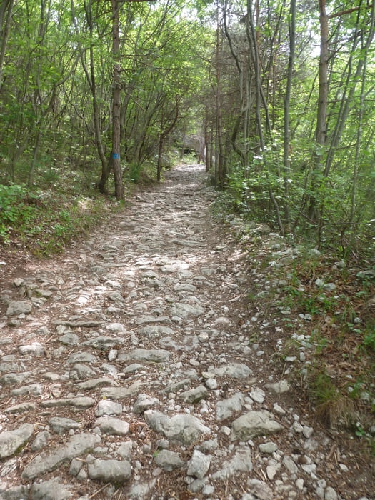
Schöner Rundweg mit Segrom-Überquerung,

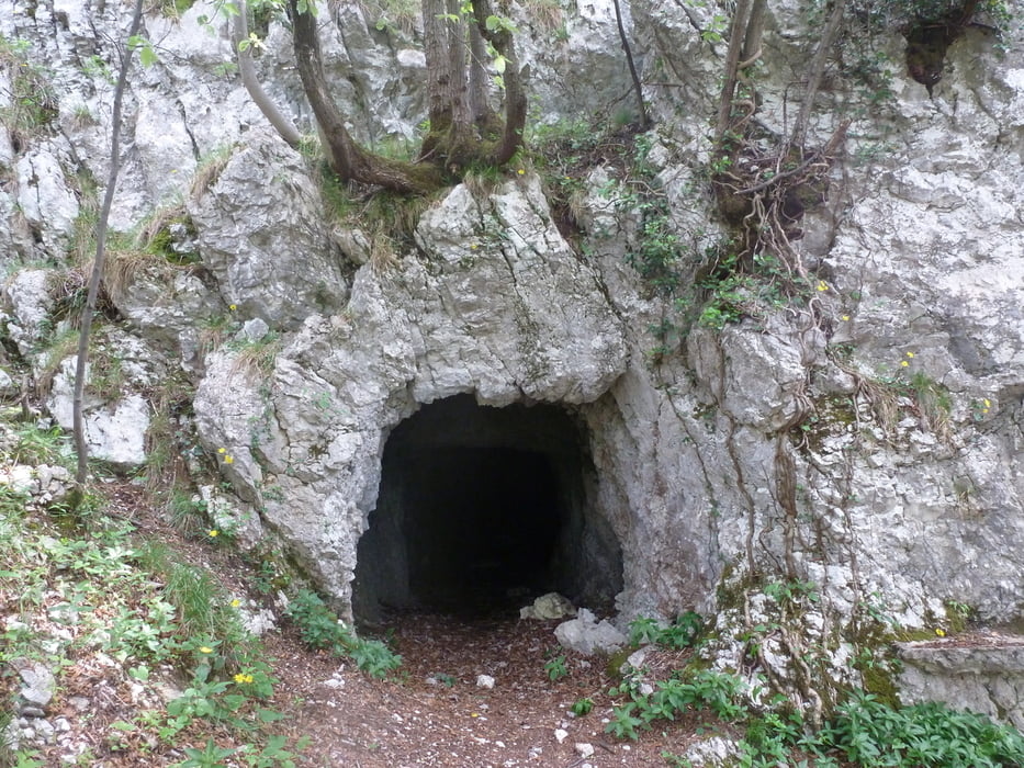
man sieht etliche Schützengräben und Kriegsrelikte, Höhlen und Steilwände auf dieser gemütlichen Runde.

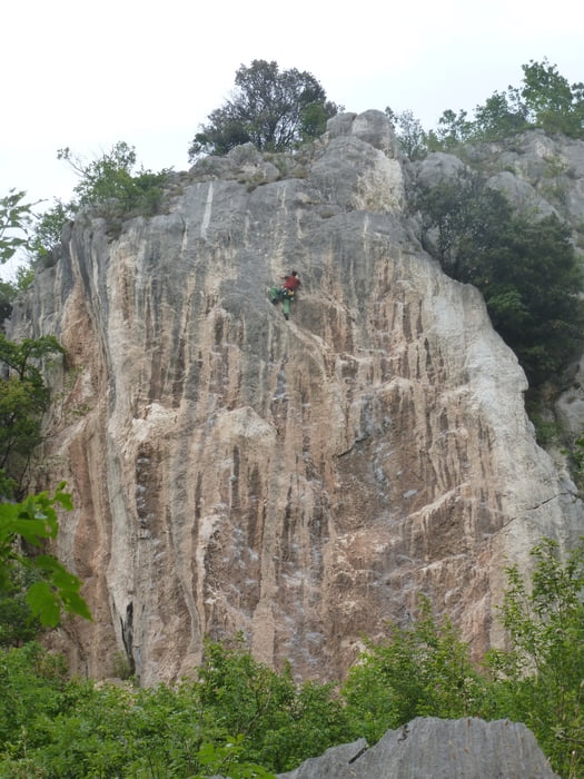
Am Paternoster kann man bei trockenen, schönen Wetter die Kletterer beobachten.

Tour gallery

Tour map and elevation profile

  • Open Street Map
  • Google
Minimum height 219 m Maximum height 694 m Detailed view

More about the tour author

buggi
Member since 2008

Send private message

Comments

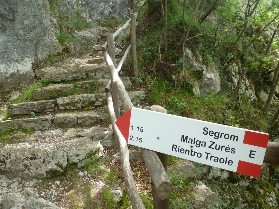
Einstieg ist an einem kleinem Parkplatz mitten in Nago

GPS tracks

Trackpoints
  • GPX / Garmin Map Source (gpx) download
  • TCX / Garmin Training Center® (tcx) download
  • CRS / Garmin Training Center® (crs) download
  • Google Earth (kml) download
  • G7ToWin (g7t) download
  • TTQV (trk) download
  • Overlay (ovl) download
  • Fugawi (txt) download
  • Kompass (DAV) Track (tk) download
  • Track data sheet (pdf) download
  • Original file of the author (gpx) download

More about the tour author

buggi
Member since 2008

Send private message
Share track
Add to my favorites
Remove from my favorites
Edit tags
My score
Rate
Track: Auf dem 601 über den Segrom
Type: Hiking
Distance: 6,7 km
Evaluated on:
Duration:
Day(s)
Hour(s)
Minute(s)
Score: Landscape Fun factor Fitness Technique