Login

Forgot your login?

Cookies have to be accepted!
Your browser's cookie functionality is disabled. Please enable this functionality.

Not a member yet?

Register now
Login

Available for registred users only

Log in to use this feature.

Forgot your login?

Cookies have to be accepted!
Your browser's cookie functionality is disabled. Please enable this functionality.

Not a member yet?

Register now
Filter
Categories
Advanced filters
  • Distance (km)
  • Height
Save filters Reset filter

TrackRank

QRCode

Technical data

Distance17,9 km Height685 m Way down685 m Duration02:00 h:m Date14.05.2014
Scores Author User Landscape Fun factor Fitness Technique

Statistics

6248 Views 4 Scores 531 Downloads 3.00 Average
Rate
  • Track data sheet
  • Directions
  • Downloads
Der Klassiker - Schwarzenberg Trail - Feierabendrunde
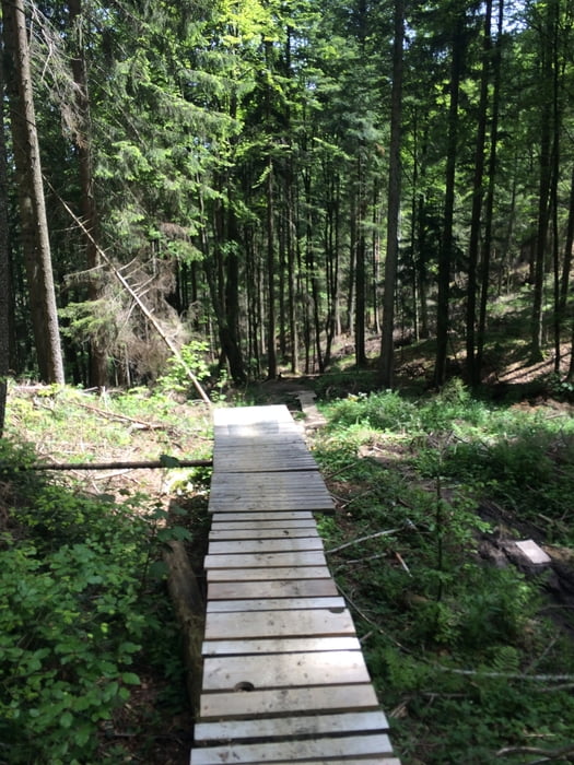
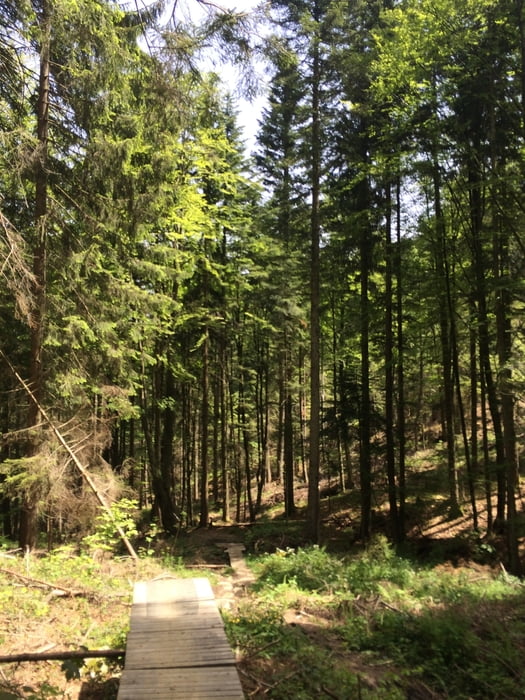
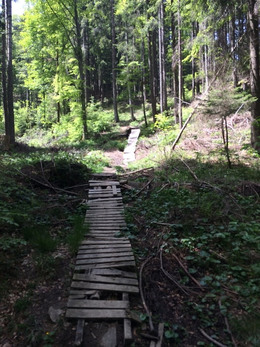
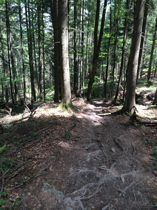
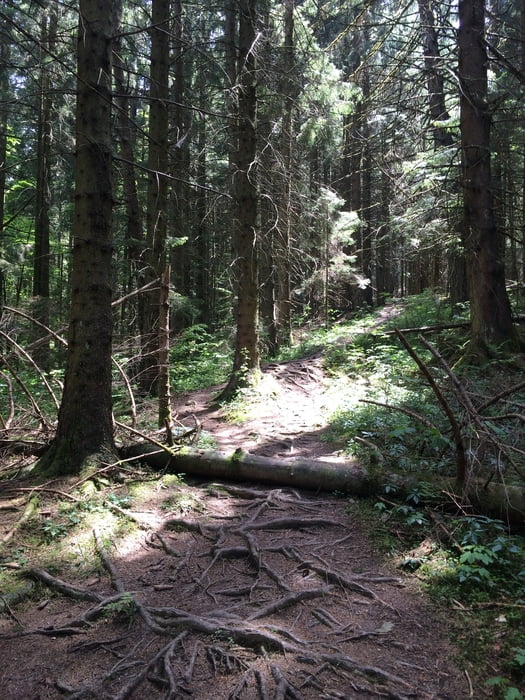
Tour gallery

Tour map and elevation profile

  • Open Street Map
  • Google
Minimum height 513 m Maximum height 1127 m Detailed view

More about the tour author

Herom
Member since 2013

Send private message

Comments

A8 Ausfahrt Bad Aibling -> Bad Feilnbach Parkplatz am Kurhaus

GPS tracks

Trackpoints
  • GPX / Garmin Map Source (gpx) download
  • TCX / Garmin Training Center® (tcx) download
  • CRS / Garmin Training Center® (crs) download
  • Google Earth (kml) download
  • G7ToWin (g7t) download
  • TTQV (trk) download
  • Overlay (ovl) download
  • Fugawi (txt) download
  • Kompass (DAV) Track (tk) download
  • Track data sheet (pdf) download
  • Original file of the author (gpx) download

More about the tour author

Herom
Member since 2013

Send private message
Share track
Add to my favorites
Remove from my favorites
Edit tags
My score
Rate
Track: Schwarzenberg Trail
Type: Mountain bike
Distance: 17,9 km
Evaluated on:
Duration:
Day(s)
Hour(s)
Minute(s)
Score: Landscape Fun factor Fitness Technique