


Braunkohlwanderung der Samtgemeinde Heeseberg.
Start war in Jerxheim am Rathaus, von da aus ging es auf Landstraßen und Feldwegen nach Ingeleben wo wir einen Stop einlegten.
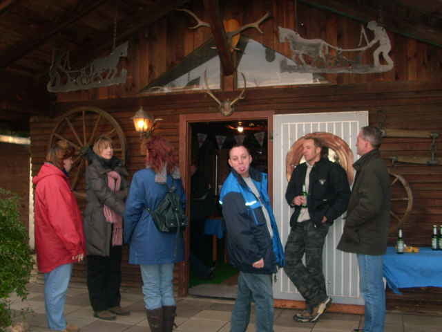
Nach der Stärkung durch Glühwein, Bier, Brot, Käse und anderen Köstlichkeiten ging es auf Feldwegen weiter nach Watenstedt in die dortige Gastwirtschaft.
Dort wurde uns leckerer Braunkohl gereicht.
Noch ein paar Getränke danach, dann war schluss.
Bis zum nächsten mal!!
Ralph
Start war in Jerxheim am Rathaus, von da aus ging es auf Landstraßen und Feldwegen nach Ingeleben wo wir einen Stop einlegten.
Nach der Stärkung durch Glühwein, Bier, Brot, Käse und anderen Köstlichkeiten ging es auf Feldwegen weiter nach Watenstedt in die dortige Gastwirtschaft.
Dort wurde uns leckerer Braunkohl gereicht.
Noch ein paar Getränke danach, dann war schluss.
Bis zum nächsten mal!!
Ralph
Further information at
http://www.picasaweb.google.de/racingralphTour gallery
Tour map and elevation profile
Minimum height 78 m
Maximum height 150 m
More about the tour author
|
|
Ralph-O. |
Comments

GPS tracks
Trackpoints-
GPX / Garmin Map Source (gpx) download
-
TCX / Garmin Training Center® (tcx) download
-
CRS / Garmin Training Center® (crs) download
-
Google Earth (kml) download
-
G7ToWin (g7t) download
-
TTQV (trk) download
-
Overlay (ovl) download
-
Fugawi (txt) download
-
Kompass (DAV) Track (tk) download
-
Track data sheet (pdf) download
-
Original file of the author (g7t) download
More about the tour author
|
|
Ralph-O. |
Add to my favorites
Remove from my favorites
Edit tags
Open track
My score
Rate