Login

Forgot your login?

Cookies have to be accepted!
Your browser's cookie functionality is disabled. Please enable this functionality.

Not a member yet?

Register now
Login

Available for registred users only

Log in to use this feature.

Forgot your login?

Cookies have to be accepted!
Your browser's cookie functionality is disabled. Please enable this functionality.

Not a member yet?

Register now
Filter
Categories
Advanced filters
  • Distance (km)
  • Height
Save filters Reset filter

TrackRank

QRCode

Technical data

Distance14,7 km Height207 m Way down266 m Duration04:00 h:m Date19.05.2014
Scores Author Landscape Fun factor Fitness Technique

Statistics

102 Views Scores 4 Downloads Average
Rate
  • Track data sheet
  • Directions
  • Downloads
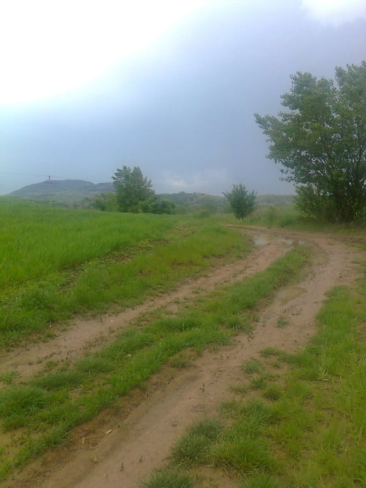
 A túra Becske vasútállomástól indul,innen még 1,5 km a falu.Esők után malactúrává válik a kék errefelé,nekem sikerült belefutnom.Nem szeretek aszfalton menni,de az utolsó km-eknek Romhány előtt már kifejezetten örültem.

Tour gallery

Tour map and elevation profile

  • Open Street Map
  • Google
Minimum height 149 m Maximum height 347 m Detailed view

More about the tour author

frontera74
Member since 2011

Send private message

Comments

Becske néhány vonattal Aszód felől,talán busz is jár erre....

GPS tracks

Trackpoints
  • GPX / Garmin Map Source (gpx) download
  • TCX / Garmin Training Center® (tcx) download
  • CRS / Garmin Training Center® (crs) download
  • Google Earth (kml) download
  • G7ToWin (g7t) download
  • TTQV (trk) download
  • Overlay (ovl) download
  • Fugawi (txt) download
  • Kompass (DAV) Track (tk) download
  • Track data sheet (pdf) download
  • Original file of the author (gpx) download

More about the tour author

frontera74
Member since 2011

Send private message
Share track
Add to my favorites
Remove from my favorites
Edit tags
My score
Rate
Track: OKT Becskétől Romhányig
Type: Hiking
Distance: 14,7 km
Evaluated on:
Duration:
Day(s)
Hour(s)
Minute(s)
Score: Landscape Fun factor Fitness Technique