Login

Forgot your login?

Cookies have to be accepted!
Your browser's cookie functionality is disabled. Please enable this functionality.

Not a member yet?

Register now
Login

Available for registred users only

Log in to use this feature.

Forgot your login?

Cookies have to be accepted!
Your browser's cookie functionality is disabled. Please enable this functionality.

Not a member yet?

Register now
Filter
Categories
Advanced filters
  • Distance (km)
  • Height
Save filters Reset filter

TrackRank

QRCode

Technical data

Distance24,5 km Height1172 m Way down1170 m Duration05:00 h:m Date23.05.2014
Scores Author Landscape Fun factor Fitness Technique

Statistics

887 Views Scores 79 Downloads Average
Rate
  • Track data sheet
  • Directions
  • Downloads

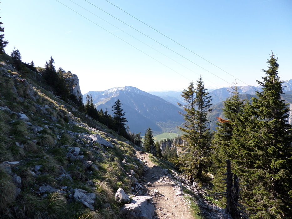
Sehr anspruchsvolle Tour von Bad Feilnbach zur Bergstation der Wendelsteinbahn. 

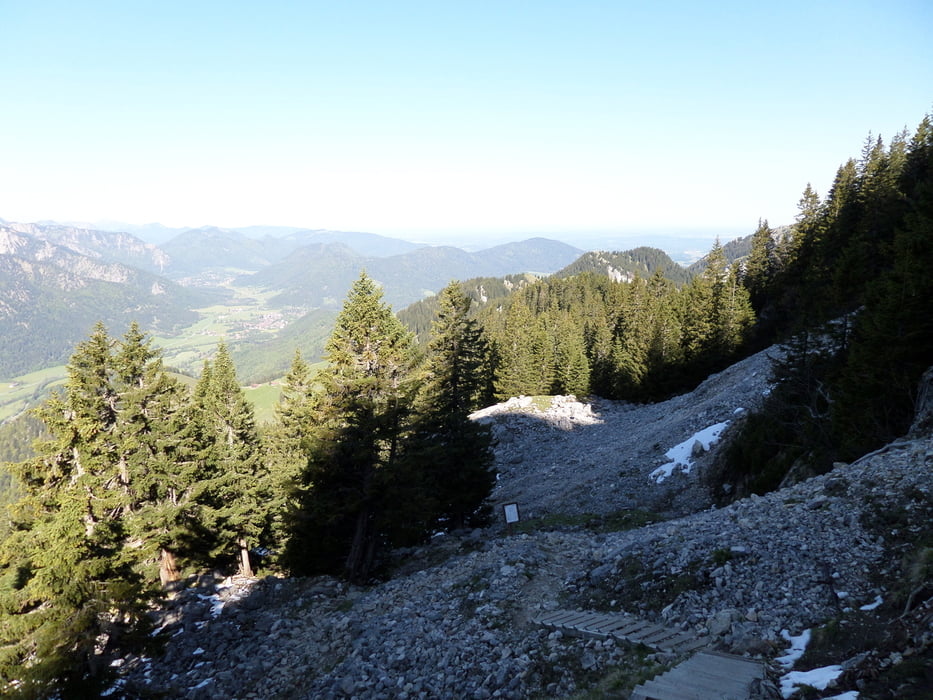
Schwierige Tragepassagen, traumhafte Ausblicke, steile und sehr gefährliche Abfahrten.


Further information at
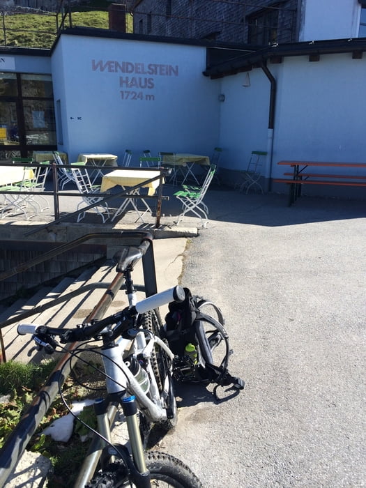
http://www.wendelsteinbahn.de

Tour gallery

Tour map and elevation profile

  • Open Street Map
  • Google
Minimum height 563 m Maximum height 1711 m Detailed view

More about the tour author

Herom
Member since 2013

Send private message

Comments

andi084 on 23.05.2014

Hi

wieviel ist da fahrbar und wieviel zum tragen? gruß

Am besten mal auf Goolge-Earth den Verlauf genau anschauen:
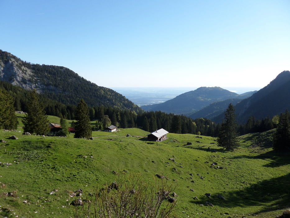
Bis zu den Hütten (Aiblinger Hütte etc.) ist alles bergauf/ab fahrbar, weiter bis zur großen Felswand. Bergauf ist hier definitiv tragen angesagt, bis zur Bergstation. Bergab je nach Können fahrbar, einige Tragepassagen sind aber auch bergab dabei.
A8 -> Ausfahrt Bad Aibling -> Richtung Bad Feilnbach -> Jenbachparkplatz

GPS tracks

Trackpoints
  • GPX / Garmin Map Source (gpx) download
  • TCX / Garmin Training Center® (tcx) download
  • CRS / Garmin Training Center® (crs) download
  • Google Earth (kml) download
  • G7ToWin (g7t) download
  • TTQV (trk) download
  • Overlay (ovl) download
  • Fugawi (txt) download
  • Kompass (DAV) Track (tk) download
  • Track data sheet (pdf) download
  • Original file of the author (gpx) download

More about the tour author

Herom
Member since 2013

Send private message
Share track
Add to my favorites
Remove from my favorites
Edit tags
My score
Rate
Track: Wendelstein (Bikebergsteigen)
Type: Mountain bike
Distance: 24,5 km
Evaluated on:
Duration:
Day(s)
Hour(s)
Minute(s)
Score: Landscape Fun factor Fitness Technique