


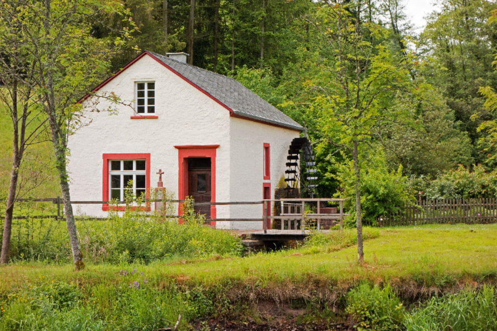
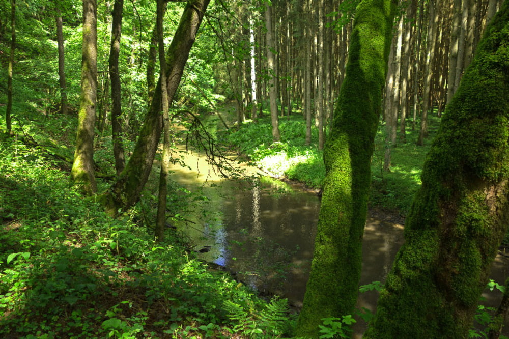
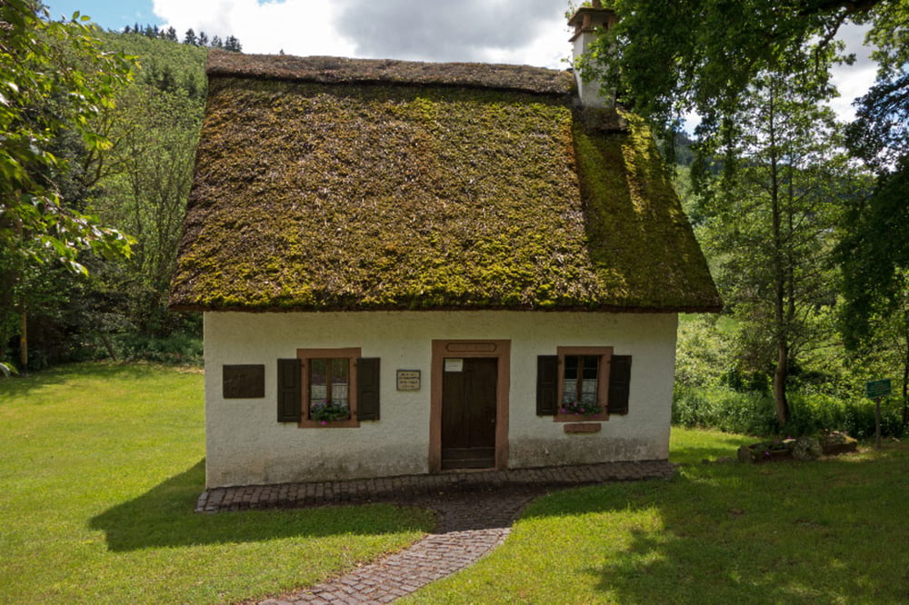
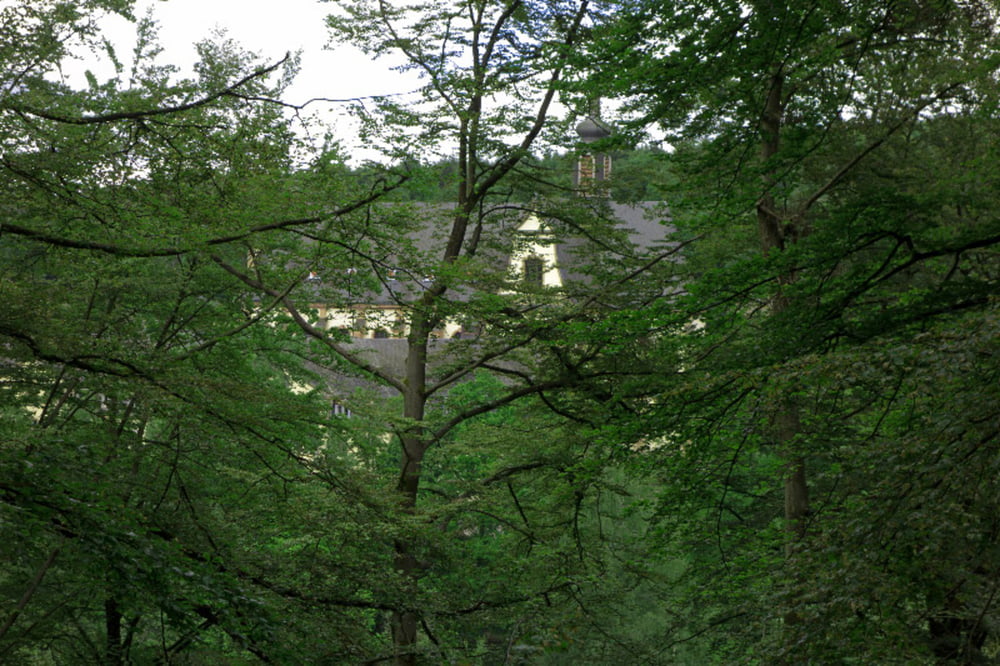
Start in Dodenburg am Bushäuschen in Richtung Dreis, nach ca. 1 km links ab in den Wald. Hier weiter in Richtung Bruch. In Bruch kommt man an der restaurierten Mühle vorbei Richtung Salm.Von hier aus weiter an der Salm entlang nach Niederkeil, am reetgedeckten Haus des Eifeldichters Nilles ( 1825 - 1901) vorbei nach Himmerod, dort kann man sich in diversen Cafe´s stärken. Von hier aus weiter an der Salm entlang auf dem Eifelsteig bis zum Hotel Viktoria und weiter nach Hupperath. Weiter nach Bergweiler, Dreis und letzter Anstieg hoch nach Dodenburg.
Tour gallery
Tour map and elevation profile
Minimum height 174 m
Maximum height 405 m
More about the tour author
|
|
Adler1 |
Comments

GPS tracks
Trackpoints-
GPX / Garmin Map Source (gpx) download
-
TCX / Garmin Training Center® (tcx) download
-
CRS / Garmin Training Center® (crs) download
-
Google Earth (kml) download
-
G7ToWin (g7t) download
-
TTQV (trk) download
-
Overlay (ovl) download
-
Fugawi (txt) download
-
Kompass (DAV) Track (tk) download
-
Track data sheet (pdf) download
-
Original file of the author (gpx) download
More about the tour author
|
|
Adler1 |
Add to my favorites
Remove from my favorites
Edit tags
Open track
My score
Rate