Login

Forgotten password?

Cookies have to be accepted!
Your browser's cookie functionality is disabled. Please enable this functionality.

Not a member yet?

Register now
Login

Available for registred users only

Log in to use this feature.

Forgotten password?

Cookies have to be accepted!
Your browser's cookie functionality is disabled. Please enable this functionality.

Not a member yet?

Register now
Filter
Categories
Advanced filters
  • Distance (km)
  • Height
Save filters Reset filter

TrackRank

QRCode

Technical data

Distance12,6 km Height236 m Way down255 m Duration02:35 h:m Date24.05.2014
Scores Author Landscape Fun factor Fitness Technique

Statistics

397 Views Scores 39 Downloads Average
Rate
  • Track data sheet
  • Directions
  • Downloads

Wegverlauf: Haltestelle Holde Str. - Rossenbecktal - Flughafensiedlung - Rumbachtal - Oppspring - Witthausbusch - Kahlenbergswald - Thyssenpark - Wasserbahnhof - Mülheim Stadtmitte

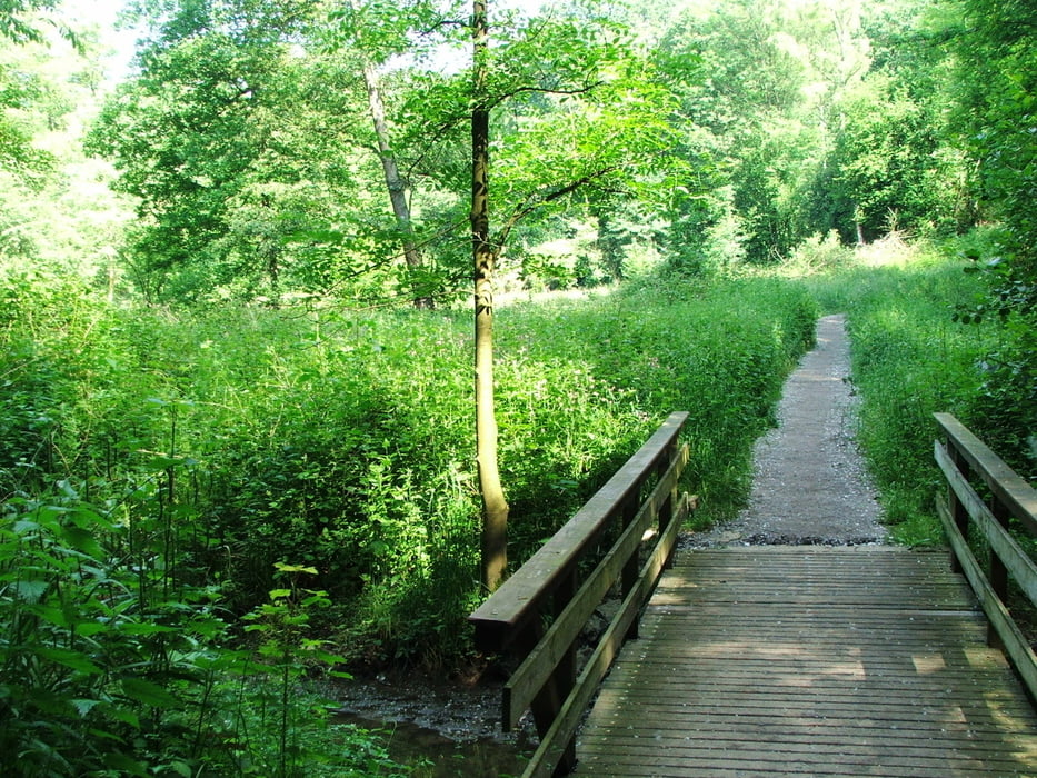
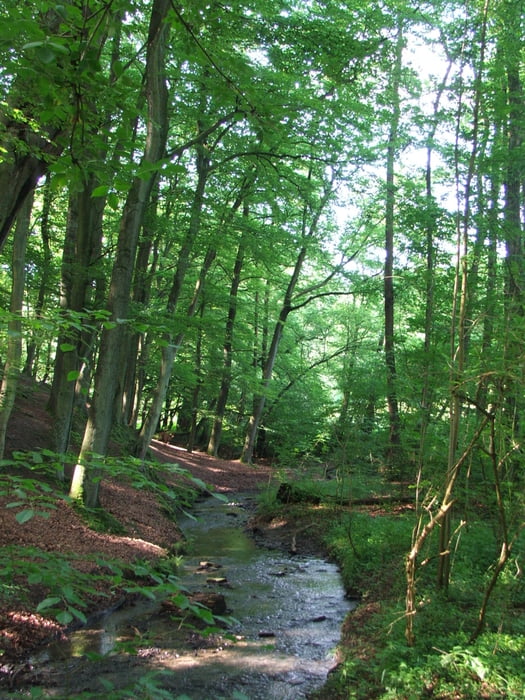
Bachtäler, Wälder und Aussicht auf das Ruhrtal


Tour gallery

Tour map and elevation profile

  • Open Street Map
  • Google
Minimum height 20 m Maximum height 124 m Detailed view

More about the tour author

lothardomnik
Member since 2009

Send private message

Comments

Hinfahrt: von Mülheim Hbf. mit Buslinie 151 bis Haltestelle Holde Str.

Rückfahrt: von Stadtmitte Fahrtmöglichkeiten mit mehreren Bus- und Straßenbahnlinien nach Mülheim Hbf.


GPS tracks

Trackpoints
  • GPX / Garmin Map Source (gpx) download
  • TCX / Garmin Training Center® (tcx) download
  • CRS / Garmin Training Center® (crs) download
  • Google Earth (kml) download
  • G7ToWin (g7t) download
  • TTQV (trk) download
  • Overlay (ovl) download
  • Fugawi (txt) download
  • Kompass (DAV) Track (tk) download
  • Track data sheet (pdf) download
  • Original file of the author (gpx) download

More about the tour author

lothardomnik
Member since 2009

Send private message
Share track
Add to my favorites
Remove from my favorites
Edit tags
My score
Rate
Track: Ruhrgebiet: Mülheim
Type: Hiking
Distance: 12,6 km
Evaluated on:
Duration:
Day(s)
Hour(s)
Minute(s)
Score: Landscape Fun factor Fitness Technique