Login

Forgot your login?

Cookies have to be accepted!
Your browser's cookie functionality is disabled. Please enable this functionality.

Not a member yet?

Register now
Login

Available for registred users only

Log in to use this feature.

Forgot your login?

Cookies have to be accepted!
Your browser's cookie functionality is disabled. Please enable this functionality.

Not a member yet?

Register now
Filter
Categories
Advanced filters
  • Distance (km)
  • Height
Save filters Reset filter

TrackRank

QRCode

Technical data

Distance28,3 km Height1660 m Way down1673 m Duration06:30 h:m Date26.05.2014
Scores Author Landscape Fun factor Fitness Technique

Statistics

236 Views Scores 9 Downloads Average
Rate
  • Track data sheet
  • Directions
  • Downloads

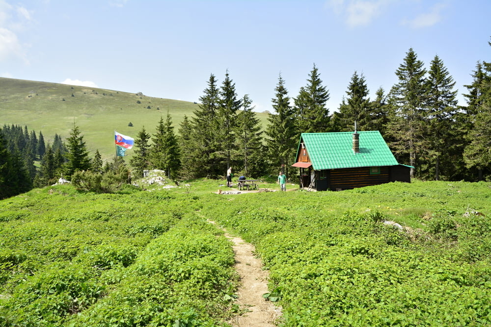
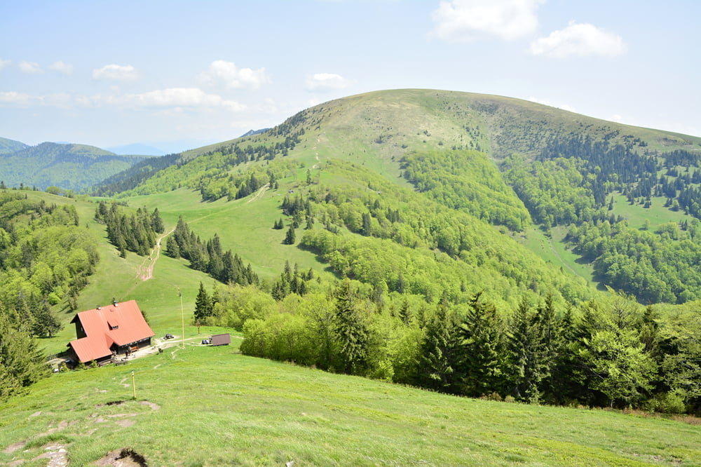
Příjezd autem do Liptovské Revúce. Parkování u silnice naproti rodinným domům. Bez problémů. Pak už pěšky po zelené. Pěkné hory byli jsme na jeden den ,ale bez problémů přespání u salaši. Nebo v salaši pokud je otevřená. Salaš pod Suchým vrchem podle jednoho z lidí , kteří se o tuto salaš starají stále otevřená.  
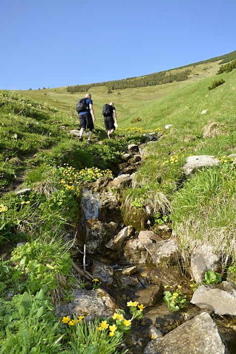
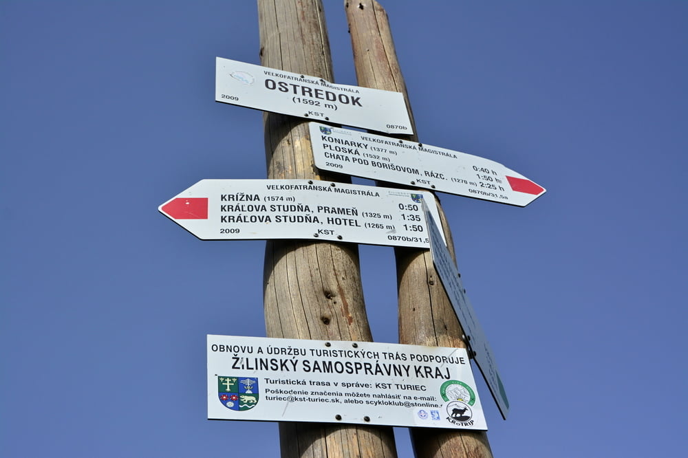
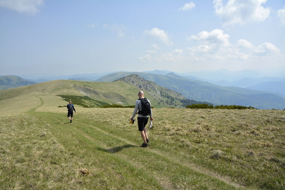


Tour gallery

Tour map and elevation profile

  • Open Street Map
  • Google
Minimum height 701 m Maximum height 1590 m Detailed view

More about the tour author

Tomino119
Member since 2012

Send private message

Comments

GPS tracks

Trackpoints
  • GPX / Garmin Map Source (gpx) download
  • TCX / Garmin Training Center® (tcx) download
  • CRS / Garmin Training Center® (crs) download
  • Google Earth (kml) download
  • G7ToWin (g7t) download
  • TTQV (trk) download
  • Overlay (ovl) download
  • Fugawi (txt) download
  • Kompass (DAV) Track (tk) download
  • Track data sheet (pdf) download
  • Original file of the author (gpx) download

More about the tour author

Tomino119
Member since 2012

Send private message
Share track
Add to my favorites
Remove from my favorites
Edit tags
My score
Rate
Track: Velká Fatra
Type: Hiking
Distance: 28,3 km
Evaluated on:
Duration:
Day(s)
Hour(s)
Minute(s)
Score: Landscape Fun factor Fitness Technique