
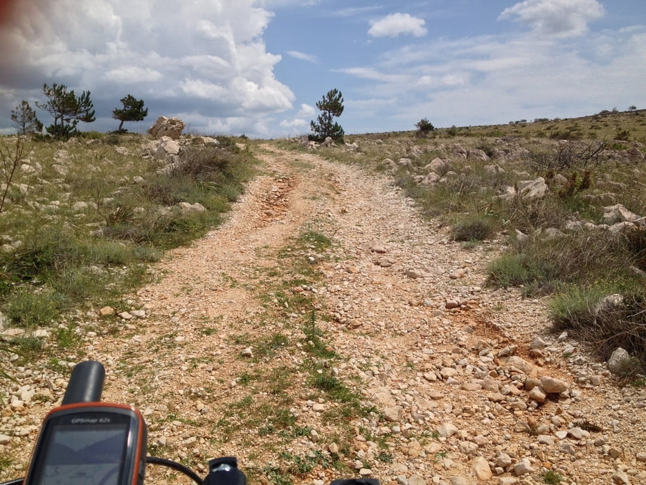

Start der Route ist die Brücke bei Maslenica. Von der Brücke aus hat man einen tollen Ausblick. Nach etwa einem Kilometer kommt der erste kurze Anstieg, die asphaltierte Straße führt durch ein kleines Dorf.
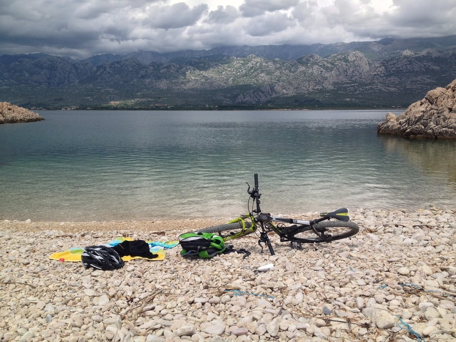
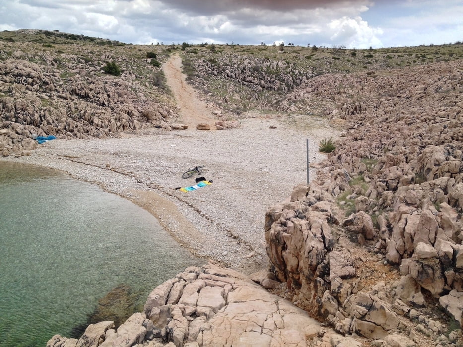
Kurz darauf gehts von Asphalt auf groben Kies. Die Abfahrt mach richtig Spaß und endet in einer kleinen einsamen Bucht. Ich kann euch nur empfehlen hier eine kleine Rast zu machen. Wer keine Lust hat kann vorher einfach abbiegen und weiter fahren.
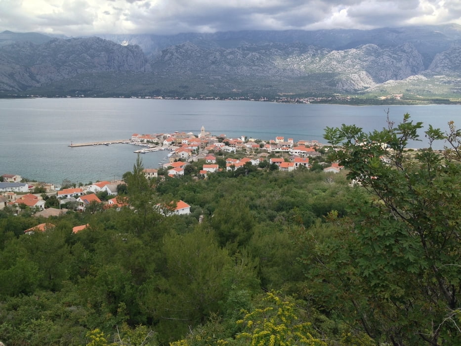
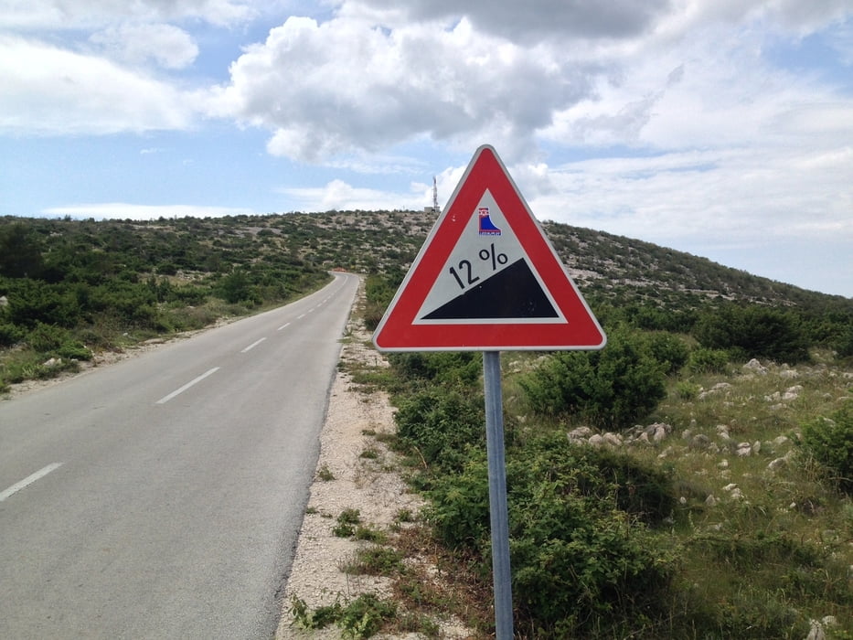
Der Pfad führt weiter in die kleine Stadt Vinjerac. Von hier aus geht es auf etwa 3,5 Km steil bergauf (Asphalt).
Belohnt werdet ihr mit einer langen Abfahrt die bis nach Posedarje führt. Weiter auf einer Landstraße gelangt ihr wieder zum Ausgangspunkt.
Viel Spaß.
Tour gallery
Tour map and elevation profile
Minimum height 5 m
Maximum height 234 m
More about the tour author

|
Seaman123 |
Comments

GPS tracks
Trackpoints-
GPX / Garmin Map Source (gpx) download
-
TCX / Garmin Training Center® (tcx) download
-
CRS / Garmin Training Center® (crs) download
-
Google Earth (kml) download
-
G7ToWin (g7t) download
-
TTQV (trk) download
-
Overlay (ovl) download
-
Fugawi (txt) download
-
Kompass (DAV) Track (tk) download
-
Track data sheet (pdf) download
-
Original file of the author (gpx) download
More about the tour author
|
|
Seaman123 |
Add to my favorites
Remove from my favorites
Edit tags
Open track
My score
Rate