
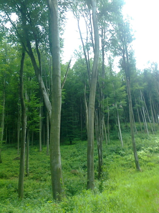

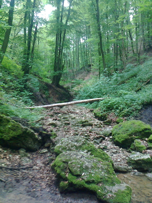
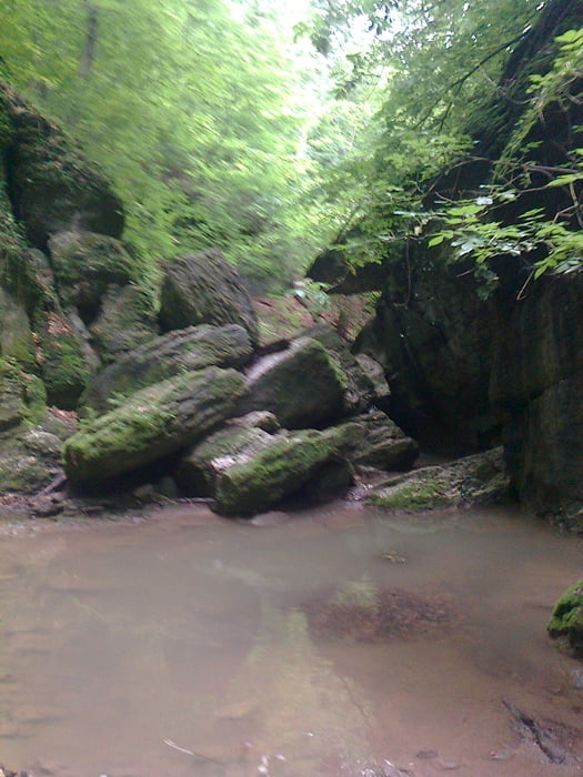
Gyalogtúra és vasalt út mászás,ami persze kihagyható.
Vinye vasútállomásról indul az út,innen 6km Csesznek.Cseszneken megmászható a három vasalt út,majd a vár alatt indulunk az Ördög-árok felé.A szurdok nehezen járható egy-két helyen,de megéri végigmenni rajta!Az út végén négy km a főút mellett halad,ezt egy nagyobb kanyarral kikerülhetjük,engem hajtott az idő.
Tour gallery


Tour map and elevation profile
Minimum height 236 m
Maximum height 415 m
More about the tour author
|
|
frontera74 |
Comments

Vinye és Zirc vonattal megközelíthető,Zirc busszal is.
GPS tracks
Trackpoints-
GPX / Garmin Map Source (gpx) download
-
TCX / Garmin Training Center® (tcx) download
-
CRS / Garmin Training Center® (crs) download
-
Google Earth (kml) download
-
G7ToWin (g7t) download
-
TTQV (trk) download
-
Overlay (ovl) download
-
Fugawi (txt) download
-
Kompass (DAV) Track (tk) download
-
Track data sheet (pdf) download
-
Original file of the author (gpx) download
More about the tour author
|
|
frontera74 |
Add to my favorites
Remove from my favorites
Edit tags
Open track
My score
Rate