


Start am Camping Fließhorn
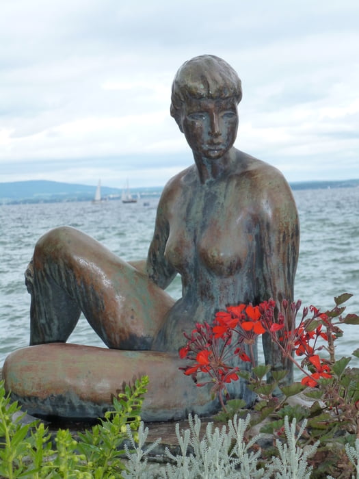
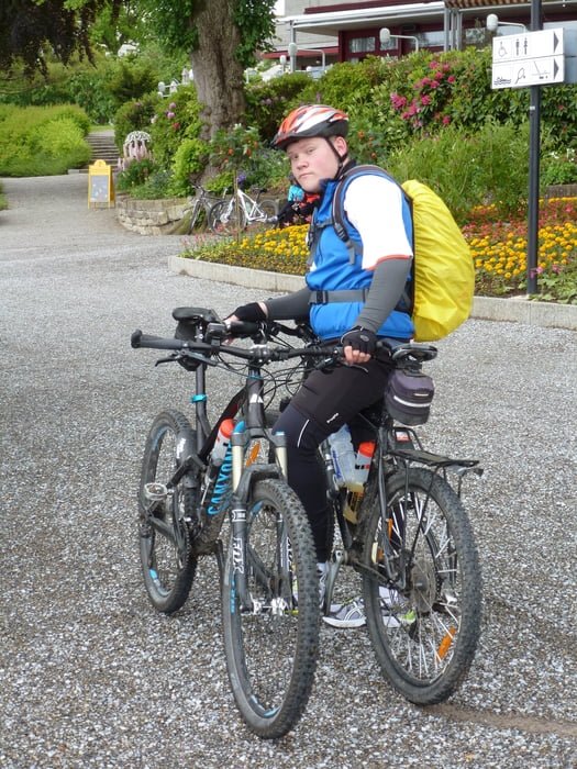
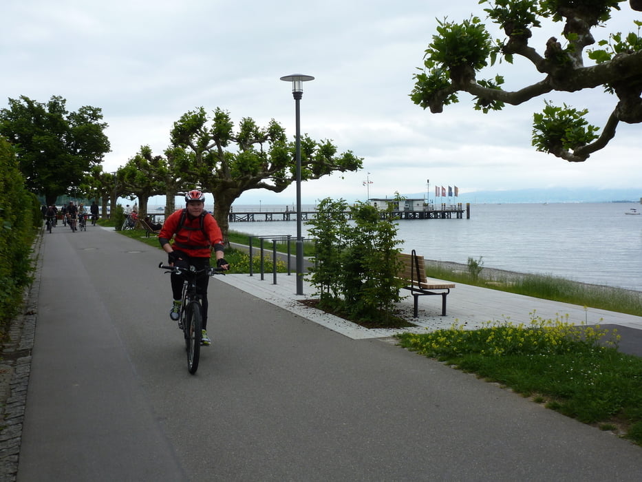
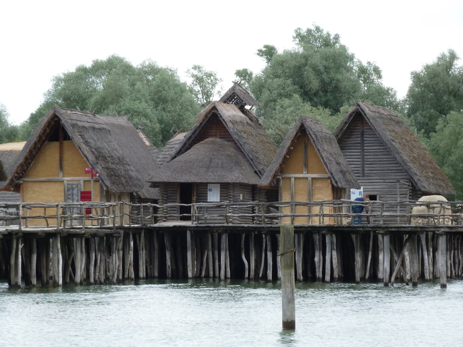
Vom Camping in Richtung Mainau – Konstanz – Schweizer Grenze – Kreuzlingen – Uttwil - Romanshorn dort mit der Fähre nach Friedrichshafen – Manzell – Immenstaad am Bodensee – Hagnau am Bodensee – Meersburg – Unteruhldingen dort mit der Fähre nach Dingelsdorf – Camping Fließhorn
Aufgrund der Streckenlänge ca. 65 km Radweg ist die Tour nur bedingt für kleinere Kinder geeignet.
Viel Spass beim Nachfahren
Further information at
http://fliesshorn.de/bodensee-camping-fliesshorn/bodensee-camping-fliesshorn.phpTour gallery
Tour map and elevation profile
Minimum height 387 m
Maximum height 432 m
More about the tour author
|
|
ambaibiker |
Comments

GPS tracks
Trackpoints-
GPX / Garmin Map Source (gpx) download
-
TCX / Garmin Training Center® (tcx) download
-
CRS / Garmin Training Center® (crs) download
-
Google Earth (kml) download
-
G7ToWin (g7t) download
-
TTQV (trk) download
-
Overlay (ovl) download
-
Fugawi (txt) download
-
Kompass (DAV) Track (tk) download
-
Track data sheet (pdf) download
-
Original file of the author (gpx) download
More about the tour author
|
|
ambaibiker |
Add to my favorites
Remove from my favorites
Edit tags
Open track
My score
Rate