Login

Forgot your login?

Cookies have to be accepted!
Your browser's cookie functionality is disabled. Please enable this functionality.

Not a member yet?

Register now
Login

Available for registred users only

Log in to use this feature.

Forgot your login?

Cookies have to be accepted!
Your browser's cookie functionality is disabled. Please enable this functionality.

Not a member yet?

Register now
Filter
Categories
Advanced filters
  • Distance (km)
  • Height
Save filters Reset filter

TrackRank

QRCode

Technical data

Distance42,5 km Height1058 m Way down1038 m Duration03:00 h:m Date02.06.2014
Scores Author Landscape Fun factor Fitness Technique

Statistics

2292 Views Scores 193 Downloads Average
Rate
  • Track data sheet
  • Directions
  • Downloads
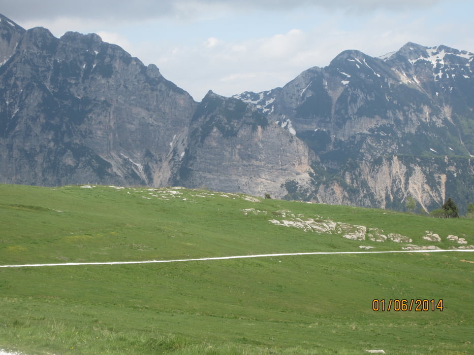
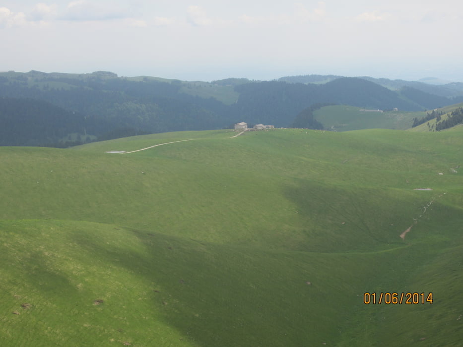
  • Rundkurs(im Uhrzeigersinn) auf dem Hochplateau der Monti Lessini(Naturpark) über dem Etschtal gelegen. Ausgedehnte Almen.
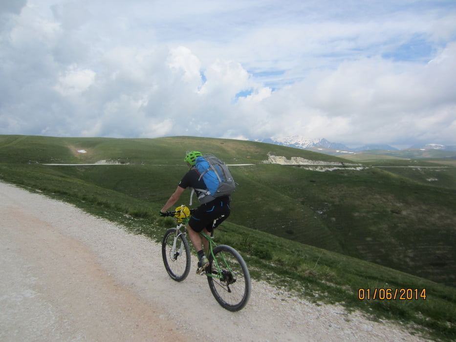
  • Streckenbeschaffenheit: Schotter/ Teer
  • Technisch leicht. Für geübte Biker eine leichte Tour. Auf Grund der Streckenlänge ist eine gute Kondition erforderlich. Keine steilen Anstiege/Abfahrten.
  • Viele Einkehrmöglichkeiten.
  • Tiefster Punkt 1.040 MH - höchster Punkt 1.720 MH.
  • Start/Ziel: Erbezzo  -   Ausfahrt Brennerautobahn in Ala - über steile Provinzstrasse hoch nach Erbezzo ca. 24 KM.
  •  
  • Erbezzo ist eine von 13 zimbrischen Gemeinden und wurde im XIII Jahrhundert von bayrischen Holzfällern(Zimmerern) gegründet, welche auf dem Lessiner Hochplateau angesiedelt wurden.  Erbezzo=zimbrisch" Gen Wiese"

Tour gallery

Tour map and elevation profile

  • Open Street Map
  • Google
Minimum height 1028 m Maximum height 1722 m Detailed view

More about the tour author

MargesinFriedrich
Member since 2012

Send private message

Comments

LucaB on 02.06.2014

Saluto

Grazie della guida e della compagnia. La prossima volta ti faccio da guida io a Merano! Spero non sia contro le regole del forum, qui di seguito il link all'altro pezzo del mio giro di Domenica ( fichè il cell non m'ha abbandonato, poco prima che ci incrociassimo ). http://www.strava.com/activities/148103276

GPS tracks

Trackpoints
  • GPX / Garmin Map Source (gpx) download
  • TCX / Garmin Training Center® (tcx) download
  • CRS / Garmin Training Center® (crs) download
  • Google Earth (kml) download
  • G7ToWin (g7t) download
  • TTQV (trk) download
  • Overlay (ovl) download
  • Fugawi (txt) download
  • Kompass (DAV) Track (tk) download
  • Track data sheet (pdf) download
  • Original file of the author (gpx) download

More about the tour author

MargesinFriedrich
Member since 2012

Send private message
Share track
Add to my favorites
Remove from my favorites
Edit tags
My score
Rate
Track: Gran Tour dell´Alta Lessinia
Type: Mountain bike
Distance: 42,5 km
Evaluated on:
Duration:
Day(s)
Hour(s)
Minute(s)
Score: Landscape Fun factor Fitness Technique