


Rennradtour bis zum Höchsten Punkt von Rheinland Pfalz meist über Radwege oder wennig Befahrene straßen
Vom Compingplatz & Restaurant Harfenmühle durch kleine Dörfer im Hochwald bis zum höchsten Punkt von Rheinland Pfalz zum Erbeskopf.
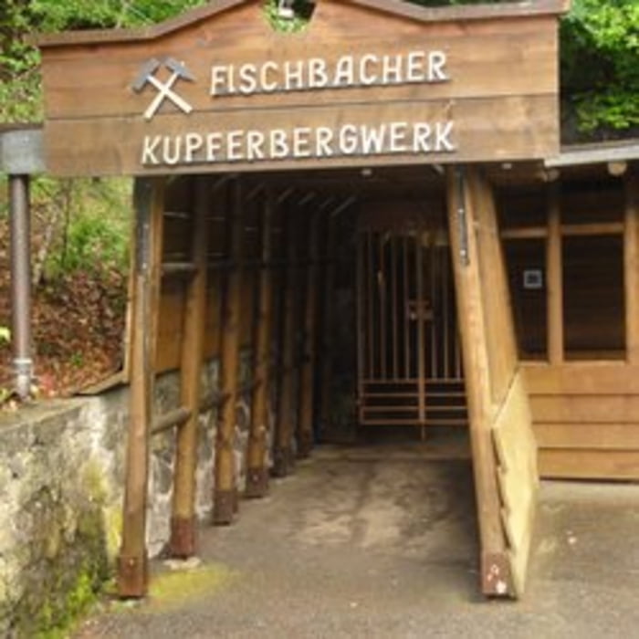
Weiter über den Radweg Quer durch den Nationalpark bis nach Birkenfeld - Kronweiler - Idar Oberstein - Fischbach (Bahnunterführung) - Kupfer Bergwerg - Berweiler bis zur Harfenmühle
Campingplatz Harfenmühle: Wandern- Eisenhüttenweg (Rundtour) Besichtigung: Schleiferei
Idar Oberstein: Edelsteinmuseum, Felsenkirche
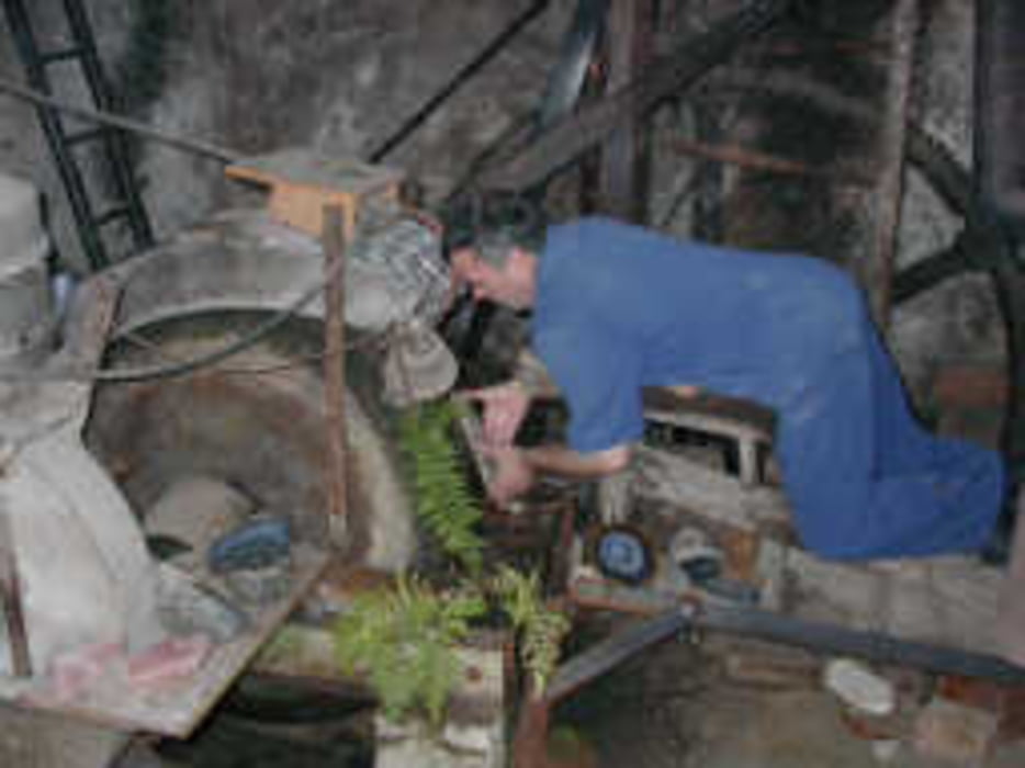
Fischbach: Kupferbergwerk
Tour gallery
Tour map and elevation profile
Minimum height 212 m
Maximum height 779 m
More about the tour author
|
|
Plunschbauch |
Comments

Start: Campingplatz & Restaurant Harfenmühle, Harfenmühle 2, 55758 Mörschied
GPS-Koordinaten
N 49° 48' 13''
O 7° 16' 10''
GPS tracks
Trackpoints-
GPX / Garmin Map Source (gpx) download
-
TCX / Garmin Training Center® (tcx) download
-
CRS / Garmin Training Center® (crs) download
-
Google Earth (kml) download
-
G7ToWin (g7t) download
-
TTQV (trk) download
-
Overlay (ovl) download
-
Fugawi (txt) download
-
Kompass (DAV) Track (tk) download
-
Track data sheet (pdf) download
-
Original file of the author (gpx) download
More about the tour author
|
|
Plunschbauch |
Add to my favorites
Remove from my favorites
Edit tags
Open track
My score
Rate